High Trees, Station Road, Rustington, Littlehampton, BN16 3BA
About High Trees
High Trees is a detached house in Rustington, Littlehampton, Littlehampton (BN16 3BA). It has a recorded floor area of 83 m² (around 893 sq ft), construction records dating it to 1950-1966 and council tax band E. The latest certificate (May 2017) shows a C (score 69), just inside the C band. When first surveyed in October 2016 the rating was E, the property has climbed 2 bands since. Between certificates, window efficiency went from Average to Good, hot-water efficiency went from Poor to Good and lighting went from Average to Very Good. The recommended improvements would push it to B (score 83).
At 83 m² it sits well below the postcode median (150 m² across 4 EPCs), making it one of the more compact homes locally. On energy efficiency it sits in the top 10% of properties in this postcode. Across 2017–2017, sale prices on this property compounded at 55% per year. Today's modelled estimate of £548,000 is 17.8% above the 2017 sale price. On a £-per-square-foot basis, the last sale (£520/sq ft) was about 68.8% above the typical sold price in the postcode. 9 years since the last transfer (June 2017).
Know exactly what you're buying at High Trees
Before you offer, see what the listing won't tell you, the true value, the red flags and the full history.
Already flagged here
Valuation
against the asking price
Risks
planning & flood
Sold prices
similar homes nearby
Trends
the local market
Energy performance
High Trees ranks among the most efficient homes in the postcode for energy use.
EPC Rating
Property Improvements
Changes detected from historical EPC data
Heating controls upgraded for better temperature management
Hot water system upgraded
Windows upgraded, improving insulation
More low energy lighting installed
Planning history
High Trees has no planning applications on record.
The full report still covers planning activity across the surrounding area.
We flagged 1 thing worth checking at High Trees
Independent checks surfaced things a buyer would want to understand before offering. The report explains each one in full, with the underlying data and what to ask.
- Recent ownership pattern worth a look
30-day money-back guarantee
Sales history & valuation
High Trees changed hands twice within eighteen months — unusual for the area.
£548,000
Modelled from EPC, postcode comparables and a sale-price growth of 55.0% per year over 1 year.
£465,000
Growth on file: 55.0% per year over 1 year.
Sales timeline
27 June 2017Most recent
£465,000
+55.0%12 January 2017
£300,000
Median price across the last 5 sales in BN16 3BA: £444,950 (2023–2007).
Nearby sales in BN16 3BA
The Bungalow, Station Road, Rustington, Littlehampton, BN16 3BA
Sold Apr 2023
£825,000Westergate, Station Road, Rustington, Littlehampton, BN16 3BA
Sold Feb 2018
£440,000The Candle House, Station Road, Rustington, Littlehampton, BN16 3BA
Sold May 2015
£444,950Allangate House, Station Road, Rustington, Littlehampton, BN16 3BA
Sold Jun 2006
£662,500Old Cottage, Station Road, Rustington, Littlehampton, BN16 3BA
Sold Jun 2004
£170,000
Everything we know about High Trees, in one report
What it's really worth, what could be wrong, and the planning, sales and area data in full.
What we flagged
- Recent ownership pattern worth a look

Versus other Station Road homes
On price per m², High Trees stands well clear of the street.
Price per m²
£5,602
Street avg £3,643
Floor Area
83 m²
Street avg 145 m²
Habitable Rooms
5 rooms
Street avg 7 rooms
CO₂ Emissions
2.6 t/year
Street avg 6.7 t/year
Similar properties nearby
1 Acre Close, Rustington
BN16 3PG
1 Andrew Close, Rustington
BN16 3QE
1 Barwick Close, Rustington
BN16 3TT
1 Brookside Avenue, Rustington
BN16 3LF
1 Buckingham Place, Rustington
BN16 3US
1 Balmoral Close, Rustington
BN16 3UT
1 Campbell Drive, Rustington
BN16 3QN
1 Blenheim Drive, Rustington
BN16 3SN
The neighbourhood at a glance
Rail-style transport is unusually close for this postcode.
Crime
2/mo
Steady year-on-year across the wider district.
Nearest stop
0.1 km
Sea Avenue — bus stop.
Closest school
0.2 km
Georgian Gardens Community Primary School. 9 schools nearby.
Go deeper on the local area
The full report breaks down crime, transport links, schools and air quality in depth.
Road noise across the postcode
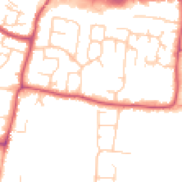
Daytime· 07:00 – 23:00
49.2dB
Night-time· 23:00 – 07:00
40.8dB