10 Alfriston Road, Worthing, BN14 7QU
About 10 Alfriston Road
10 Alfriston Road is a two-bedroom semi-detached house in Worthing (BN14 7QU). It has a recorded floor area of 75 m² (around 807 sq ft), construction records dating it to 1950-1966 and council tax band D. Tenure is freehold. The latest certificate (March 2025) shows a D (score 62), on the cusp of jumping into the C band. The recommended improvements would lift it to B (score 84), a 2-band jump.
It changed hands recently, sold October 2025 for £390,000. Across 2007–2025, sale prices on this property compounded at 3.1% per year. On a £-per-square-foot basis, the last sale (£483/sq ft) was about 74.6% above the typical sold price in the postcode. At 75 m² it's 16.7% smaller than the typical home in the postcode (90 m² median across 23 EPCs).
What this property has
Inside
- Bedrooms2
- Bathrooms1
- Dining roomYes
- CloakroomYes
Outside
- Private gardenWest-facing
- GarageYes
Building
- TenureFreehold
- Heating systemGas
- RefurbishedYes
Everything you need to know about 10 Alfriston Road
The true value, the hidden risks and the full sale history, in one report.
Pick your report · every report is £14.99
One time fee only - money back guarantee

The data behind every report


Energy performance
Recommended upgrades on file would lift this property by multiple EPC bands.
EPC Rating
Get a survey for this property
Level 2 HomeBuyer Report
We've checked 10 risk factors against the available data for this property and believe a Level 2 HomeBuyer Report could be a suitable option for you.
From £695 · Includes VAT
Planning history
10 Alfriston Road has no planning applications on record.
But the area is active
3 notable applications nearby — larger schemes and conversions that could reshape the street. The report maps them all.
Sales history & valuation
10 Alfriston Road valuation sits well clear of the typical sold price in this postcode.
£426,000
Modelled from EPC, postcode comparables and a sale-price growth of 3.1% per year over 19 years.
£390,000
Growth on file: 3.1% per year over 19 years.
Sales timeline
16 October 2025Most recent
£390,000
+75.7%over 18 years14 February 2007
£222,000
Median price across the last 5 sales in BN14 7QU: £400,000 (2025–2016).
Nearby sales in BN14 7QU
Versus other Alfriston Road homes
Years Held for 10 Alfriston Road lags the street by a wide margin.
Price per m²
£5,200
Street avg £3,051
Floor Area
75 m²
Street avg 88 m²
Habitable Rooms
3 rooms
Street avg 4 rooms
CO₂ Emissions
3.6 t/year
Street avg 4.5 t/year
Everything you need to know about 10 Alfriston Road
The true value, the hidden risks and the full sale history, in one report.
Pick your report · every report is £14.99
One time fee only - money back guarantee
The data behind every report
Similar properties nearby
1 Alfriston Close
BN14 7QT
1 Alfriston Road
BN14 7QU
1 Beech Gardens, Bulkington Avenue
BN14 7HL
1 Gaisford Close
BN14 7HU
1 Brockley Close
BN14 7AW
1 Centrecourt Road
BN14 7AG
1 Athelstan Road
BN14 7NA
1 Fairoak Court, High Street, Tarring
BN14 7NT
The neighbourhood at a glance
Crime
3/mo
Steady year-on-year across the wider district.
Nearest stop
0.1 km
Cranleigh Road — bus stop.
Closest school
0.4 km
Worthing High School. 26 schools nearby.
Go deeper on the local area
A Local Area report breaks down crime, transport links, schools and air quality in depth.
Road noise across the postcode
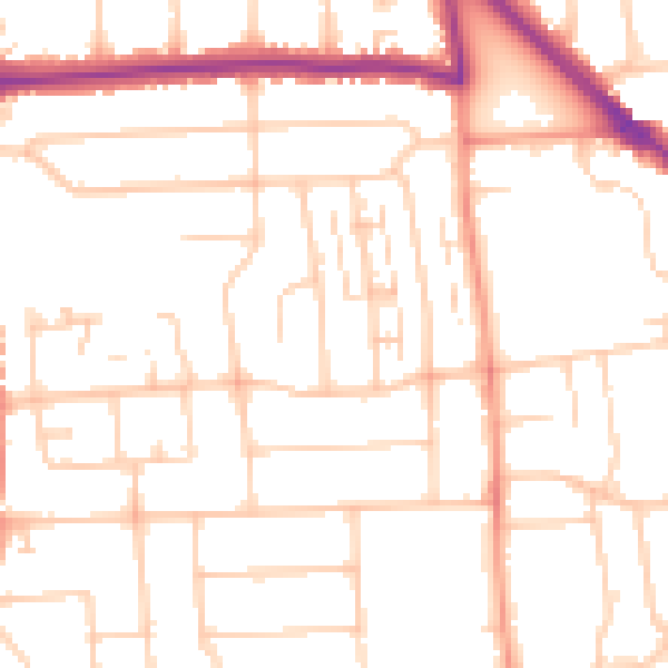
Daytime· 07:00 – 23:00
50.6dB

Night-time· 23:00 – 07:00
40.3dB