21a, South Street, Tarring, Worthing, BN14 7LG
About 21a
21a is a property in Tarring, Worthing, Worthing (BN14 7LG). It has council tax band B.
Untraded for 20 years, with the last transfer in February 2006. Across 2005–2006, sale prices on this property compounded at 100% per year.
Everything you need to know about 21a
The true value, the hidden risks and the full sale history, in one report.
Pick your report · every report is £14.99
One time fee only - money back guarantee

The data behind every report


Energy performance
No EPC on record
This property doesn't have an Energy Performance Certificate yet. An EPC is required to sell or let — and unlocks our automated valuation.
Get a survey for this property
Level 2 HomeBuyer Report
We've checked 10 risk factors against the available data for this property and believe a Level 2 HomeBuyer Report could be a suitable option for you.
Planning history
21a has no planning applications on record.
But the area is active
3 notable applications nearby — larger schemes and conversions that could reshape the street. The report maps them all.
Sales history & valuation
21a has more than doubled in price since the earliest registered sale in 2005.
£230,000
Growth on file: 100.0% per year over 1 year.
Sales timeline
3 February 2006Most recent
£230,000
+100.0%4 October 2005
£115,000
Median price across the last 5 sales in BN14 7LG: £205,000 (2023–2016).
Nearby sales in BN14 7LG
7 South Street, Tarring, Worthing, BN14 7LG
Sold Feb 2023
£262,50037 South Street, Tarring, Worthing, BN14 7LG
Sold Sept 2022
£110,00035a, South Street, Tarring, Worthing, BN14 7LG
Sold Nov 2017
£172,50027 South Street, Tarring, Worthing, BN14 7LG
Sold Aug 2016
£306,00019 South Street, Tarring, Worthing, BN14 7LG
Sold Jan 2016
£15,000
Everything you need to know about 21a
The true value, the hidden risks and the full sale history, in one report.
Pick your report · every report is £14.99
One time fee only - money back guarantee
The data behind every report
Similar properties nearby
1 Centrecourt Road
BN14 7AG
1 Brockley Close
BN14 7AW
1 Fairoak Court, High Street, Tarring
BN14 7NT
1 Centrecourt Close
BN14 7AH
1 Carnegie Close
BN14 7HA
1 Fairfields, High Street, Tarring
BN14 7TR
1 Gaisford Close
BN14 7HU
1 Beech Gardens, Bulkington Avenue
BN14 7HL
The neighbourhood at a glance
Rail-style transport is unusually close for this postcode.
Crime
3/mo
Steady year-on-year across the wider district.
Nearest stop
0.0 km
St Dunstan's Road — bus stop.
Closest school
0.8 km
Elm Grove Primary School, Worthing. 26 schools nearby.
Go deeper on the local area
A Local Area report breaks down crime, transport links, schools and air quality in depth.
Road noise across the postcode
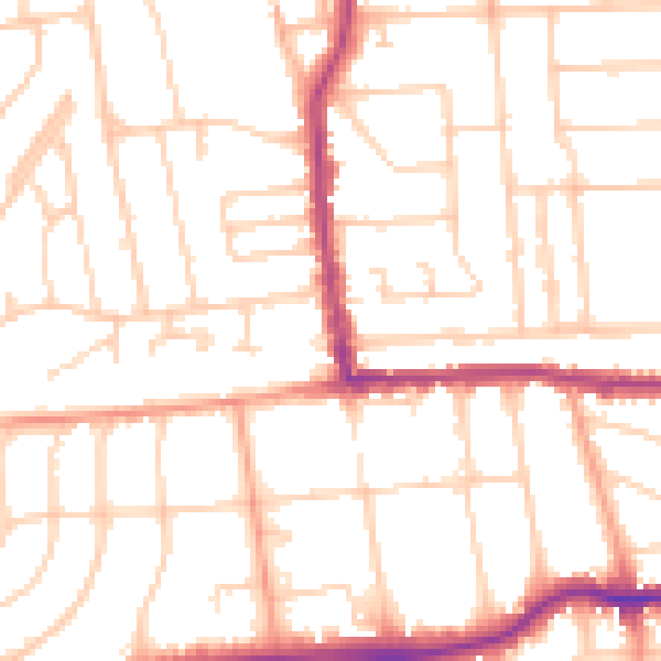
Daytime· 07:00 – 23:00
50.9dB

Night-time· 23:00 – 07:00
40.4dB