19 Elm Road, Worthing, BN11 1PG
About 19 Elm Road
19 Elm Road is a semi-detached house in Worthing (BN11 1PG). It has a recorded floor area of 92 m² (around 989 sq ft) and council tax band C. The latest certificate (March 2009) returns a B (score 81), comfortably above the UK average. The rating has held steady at B across 2 certificates since March 2009. Between certificates, lighting went from Average to Very Good; while floor efficiency dropped from Very Good to Good. The latest certificate is from March 2009, so improvements made since then won't be reflected.
At 92 m² the property is well over the postcode median (62 m² across 17 EPCs), placing it in the larger end of the local stock. Its energy rating outperforms most of the postcode (better than 82% of similar EPCs). One planning record on file: subdivision approved in 2008. Past consents include subdivision, meaningful when judging how the property has evolved.
Everything you need to know about 19 Elm Road
The true value, the hidden risks and the full sale history, in one report.
Pick your report · every report is £14.99
One time fee only - money back guarantee

The data behind every report


Energy performance
19 Elm Road's EPC is over a decade old — improvements since won't be reflected.
EPC Expired
This certificate is over 10 years old and is no longer valid.Expired 09 Mar 2019
EPC Rating
Get a survey for this property
Level 2 HomeBuyer Report
We've checked 10 risk factors against the available data for this property and believe a Level 2 HomeBuyer Report could be a suitable option for you.
From £545 · Includes VAT
Planning history
Council records show a subdivision application — the property's legal arrangement has been altered.
1 application on record at 19 Elm Road, Worthing, BN11 1PG
- Mar 2008SubdivisionFullOutcome in report
Conversion of 19-21 Elm Road from a hostel to 4 self-contained flats together with replacement windows and doors in timber (and white PVCu to rear part of buildings only).
- Documents
- 1 doc on file
- Reference
- 07/0981/FULL
Unlock 19 Elm Road, Worthing, BN11 1PG's full planning history
You're seeing the shape of it. The report has the substance.
- Every decision — granted, refused or withdrawn (1 on record)
- All 1 application on this property in full, plus 15 notable nearby
- The 1 documents, officer reports & conditions
- What the pattern means for extending or converting here
One time fee only - money back guarantee
Sales history & valuation
19 Elm Road has no Land Registry sales on file, suggesting it has stayed in the same hands since registration began.
£274,000
Modelled from EPC, postcode comparables.
No sales recorded with HM Land Registry
That can mean the property has never traded since the registry began publishing in 1995, was a new build that hasn't been registered yet, or is held in the same hands long-term.
Median price across the last 5 sales in BN11 1PG: £220,000 (2024–2021).
Versus other Elm Road homes
EPC Rating
81 (B)
Street avg 63 (D)
Floor Area
92 m²
Street avg 103 m²
CO₂ Emissions
2.2 t/year
Street avg 5.3 t/year
Everything you need to know about 19 Elm Road
The true value, the hidden risks and the full sale history, in one report.
Pick your report · every report is £14.99
One time fee only - money back guarantee
The data behind every report
Similar properties nearby
The neighbourhood at a glance
Rail-style transport is unusually close for this postcode.
Crime
5/mo
Steady year-on-year across the wider district.
Nearest stop
0.1 km
High Street — bus stop.
Closest school
0.9 km
Homefield Primary School and SSC. 16 schools nearby.
Go deeper on the local area
A Local Area report breaks down crime, transport links, schools and air quality in depth.
Road noise across the postcode
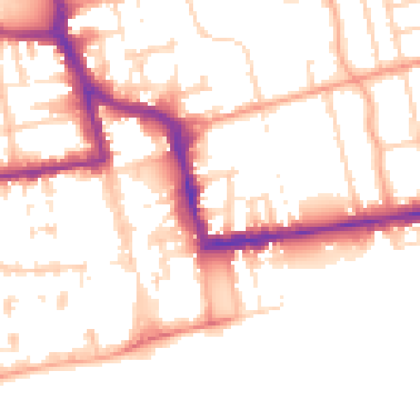
Daytime· 07:00 – 23:00
53.1dB

Night-time· 23:00 – 07:00
42.5dB