29a, Upper High Street, Worthing, BN11 1DR
About 29a
29a is a two-bedroom semi-detached house in Worthing (BN11 1DR). It has a recorded floor area of 63 m² (around 678 sq ft), construction records dating it to 1900-1929 and council tax band A. The latest certificate (October 2018) shows a D (score 59), a step below the typical UK home. Earlier certificates rated it C (November 2008); the latest reading is one band lower. Between certificates, hot-water efficiency went from Good to Very Good and lighting went from Very Poor to Good; while main heating dropped from Very Good to Good. The recommended improvements would push it to C (score 72). At 63 m² this is the 6th smallest of 25 units on EPC record in the building, where floor areas span 28–193 m². The building's EPC ratings span G to C across 25 units on file.
Untraded for 19 years, with the last transfer in March 2007. That sale landed at the peak of the pre-credit-crunch market, which is a useful reference point when interpreting the price. Across 1997–2007, sale prices on this property compounded at 12.5% per year. Today's modelled estimate of £171,000 sits 80% above the 2007 sale of £95,000. On a £-per-square-foot basis, the last sale (£140/sq ft) was about 15.1% below the postcode norm. At 63 m² it sits well below the postcode median (103 m² across 24 EPCs), making it one of the more compact homes locally.
What this property has
Inside
- Bedrooms2
- Bathrooms1
Everything you need to know about 29a
The true value, the hidden risks and the full sale history, in one report.
Pick your report · every report is £14.99
One time fee only - money back guarantee

The data behind every report


Energy performance
EPC Rating
Property Improvements
Changes detected from historical EPC data
Heating controls upgraded for better temperature management
Hot water efficiency improved
More low energy lighting installed
Get a survey for this property
Level 3 Building Survey
Because the property was built before 1919, we believe a Level 3 building survey should be considered.
From £820 · Includes VAT
Planning history
29a has no planning applications on record.
But the area is active
15 notable applications nearby — larger schemes and conversions that could reshape the street. The report maps them all.
Sales history & valuation
29a has more than tripled in price since its earliest registered sale in 1997.
£171,000
Modelled from EPC, postcode comparables and a sale-price growth of 12.5% per year over 10 years.
£95,000
Growth on file: 12.5% per year over 10 years.
Sales timeline
15 March 2007Most recent
£95,000
+227.6%over 10 years14 February 1997
£29,000
Median price across the last 5 sales in BN11 1DR: £290,000 (2021–2018).
Nearby sales in BN11 1DR
55 Upper High Street, Worthing, BN11 1DR
Sold Jun 2021
£230,00037 Upper High Street, Worthing, BN11 1DR
Sold May 2021
£610,000Ground Floor Flat, 30 Upper High Street, Worthing, BN11 1DR
Sold Sept 2020
£195,00048 Upper High Street, Worthing, BN11 1DR
Sold Jul 2019
£335,00057 Upper High Street, Worthing, BN11 1DR
Sold Oct 2018
£290,000
Versus other Upper High Street homes
29a outperforms the street on price per m² by a wide margin.
Price per m²
£1,508
Street avg £1,400
Floor Area
63 m²
Street avg 52 m²
Habitable Rooms
3 rooms
Street avg 2 rooms
CO₂ Emissions
3.3 t/year
Street avg 3.1 t/year
Everything you need to know about 29a
The true value, the hidden risks and the full sale history, in one report.
Pick your report · every report is £14.99
One time fee only - money back guarantee
The data behind every report
Similar properties nearby
1 Ashdown Road
BN11 1DF
1 Station Road
BN11 1JY
1 Elliots Cottages, North Street
BN11 1DX
1 Stanhope Road
BN11 1UE
1 Charlecote Road
BN11 1LX
1 Chandos Road
BN11 1TJ
1 Foresters Cottages, Dagmar Street
BN11 1LA
1 Parkside, High Street
BN11 1NB
The neighbourhood at a glance
Rail-style transport is unusually close for this postcode.
Crime
5/mo
Steady year-on-year across the wider district.
Nearest stop
0.3 km
Lennox Road — bus stop.
Closest school
0.5 km
Homefield Primary School and SSC. 17 schools nearby.
Go deeper on the local area
A Local Area report breaks down crime, transport links, schools and air quality in depth.
Road noise across the postcode
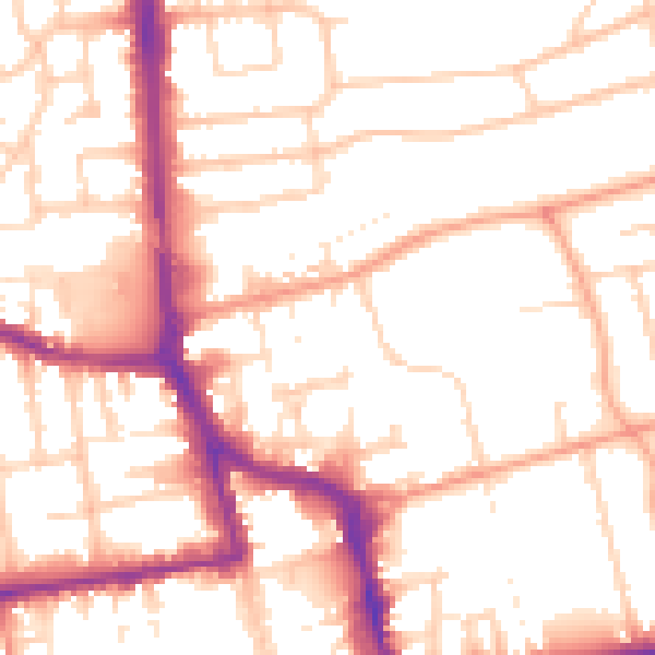
Daytime· 07:00 – 23:00
53.0dB

Night-time· 23:00 – 07:00
42.5dB