13 Allendale Drive, Bury, BL9 8EJ
About 13 Allendale Drive
13 Allendale Drive is a four-bedroom semi-detached house in Bury (BL9 8EJ). It has a recorded floor area of 150 m² (around 1615 sq ft), construction records dating it to 1950-1966 and council tax band C. The latest certificate (April 2024) shows a D (score 61), on the cusp of jumping into the C band. The rating has held steady at D across 2 certificates since July 2009. Between certificates, wall efficiency went from Poor to Average and lighting went from Poor to Good; while roof efficiency dropped from Poor to Very Poor. The recommended improvements would push it to C (score 78). Other recorded features include notable views. Records show the property has been extended at some point in its history.
At 150 m² the property is well over the postcode median (92 m² across 8 EPCs), placing it in the larger end of the local stock. Most recent transfer was March 2025 at £377,500 — fresh data. 2 planning records sit against the property, 2 approved, 0 refused. Past consents include an extension, meaningful when judging how the property has evolved. Across 1996–2025, sale prices on this property compounded at 7.3% per year. Today's modelled estimate of £431,000 is 14.2% above the 2025 sale price. On a £-per-square-foot basis, the last sale (£234/sq ft) was about 28.9% above the typical sold price in the postcode.
Know exactly what you're buying at 13 Allendale Drive
Before you offer, see what the listing won't tell you, the true value, the red flags and the full history.
Already flagged here
Valuation
against the asking price
Risks
planning & flood
Sold prices
similar homes nearby
Trends
the local market
What this property has
Inside
- Bedrooms4
- Bathrooms2
- Open-plan layoutYes
- EnsuiteYes
- StudyYes
Outside
- Private gardenYes
- Notable viewsYes
Building
- Central heatingYes
- Previously extendedYes
- RefurbishedYes
Energy performance
13 Allendale Drive's carbon output runs well above what efficient homes in the postcode produce.
EPC Rating
Property Improvements
Changes detected from historical EPC data
Heating controls changed
Cavity wall insulation installed
More low energy lighting installed
Planning history
13 Allendale Drive has an approved single-storey rear extension on the planning record.
- Jul 2014ExtensionFullIn report
Extension: Single storey · Rear of property
Single storey extension at rear
- Documents
- 9 docs on file
- Reference
- 57698
- Sept 2003
We flagged 1 thing worth checking at 13 Allendale Drive
Independent checks surfaced things a buyer would want to understand before offering. The report explains each one in full, with the underlying data and what to ask.
- Larger development activity nearby
30-day money-back guarantee
Sales history & valuation
Latest sale on 13 Allendale Drive was the highest on Land Registry record across the postcode.
£431,000
Modelled from EPC, postcode comparables and a sale-price growth of 7.3% per year over 28 years.
£377,500
Growth on file: 7.3% per year over 28 years.
Sales timeline
14 March 2025Most recent
£377,500
+82.4%over 14 years4 July 2010
£207,000
+298.1%over 13 years29 November 1996
£52,000
Median price across the last 5 sales in BL9 8EJ: £245,000 (2025–2021).
Everything we know about 13 Allendale Drive, in one report
What it's really worth, what could be wrong, and the planning, sales and area data in full.
What we flagged
- Larger development activity nearby

Versus other Allendale Drive homes
On floor area, 13 Allendale Drive stands well clear of the street.
Price per m²
£2,517
Street avg £2,265
Floor Area
150 m²
Street avg 93 m²
Habitable Rooms
6 rooms
Street avg 5 rooms
CO₂ Emissions
7.4 t/year
Street avg 5.4 t/year
Similar properties nearby
1 Castle Hey Close
BL9 8JQ
1 Alnwick Drive
BL9 8BZ
1 Alexander Drive
BL9 8PF
1 Anfield Close
BL9 8JZ
1 Castle Road
BL9 8JL
1 Blenheim Close
BL9 8BY
1 Borden Way
BL9 8QF
1 Bent Fold Drive
BL9 8NG
The neighbourhood at a glance
Daytime road noise here sits well below conversation level — a quiet pocket of the postcode.
Nearest stop
0.2 km
Sunnybank Community Centre — bus stop.
Closest school
0.2 km
Sunny Bank Primary School. 26 schools nearby.
Go deeper on the local area
The full report breaks down crime, transport links, schools and air quality in depth.
Road noise across the postcode
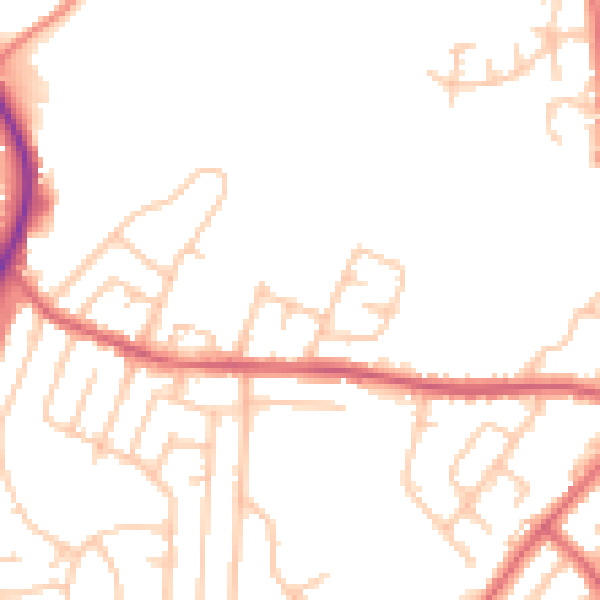
Daytime· 07:00 – 23:00
49.4dB

Night-time· 23:00 – 07:00
41.6dB