10 Benson Street, Bury, BL9 7EP
About 10 Benson Street
10 Benson Street is a mid-terrace house in Bury (BL9 7EP). It has a recorded floor area of 82 m² (around 883 sq ft), construction records dating it to 1900-1929 and council tax band A. The latest certificate (July 2014) shows a D (score 68), on the cusp of jumping into the C band. Earlier certificates rated it C (March 2009); the latest reading is one band lower. Between certificates, roof efficiency dropped from Good to Very Poor and hot-water efficiency dropped from Very Good to Good. The recommended improvements would lift it to B (score 82), a 2-band jump. The latest certificate is from July 2014, so improvements made since then won't be reflected.
Across 1999–2014, sale prices on this property compounded at 7.8% per year. Today's modelled estimate of £135,000 sits 68.8% above the 2014 sale of £80,000. On a £-per-square-foot basis, the last sale (£91/sq ft) was about 70.9% above the typical sold price in the postcode. Last changed hands 12 years ago, in November 2014. Across the public record there are 4 sales, relatively high churn for a single property.
Know exactly what you're buying at 10 Benson Street
Before you offer, see what the listing won't tell you, the true value, the red flags and the full history.
Already flagged here
Valuation
against the asking price
Risks
planning & flood
Sold prices
similar homes nearby
Trends
the local market
Energy performance
Recommended upgrades on file would lift this property by multiple EPC bands.
EPC Expired
This certificate is over 10 years old and is no longer valid.Expired 22 Jul 2024
EPC Rating
Planning history
10 Benson Street has no planning applications on record.
Notable planning nearby
6applications of note in the surrounding area
We flagged 2 things worth checking at 10 Benson Street
Independent checks surfaced things a buyer would want to understand before offering. The report explains each one in full, with the underlying data and what to ask.
- Signs of HMO activity in the area
- Larger development activity nearby
30-day money-back guarantee
Sales history & valuation
Sale price has grown by over 3x since 1999.
£135,000
Modelled from EPC, postcode comparables and a sale-price growth of 7.8% per year over 16 years.
£80,000
Growth on file: 7.8% per year over 16 years.
Sales timeline
7 November 2014Most recent
£80,000
+14.3%over 5 years23 June 2009
£70,000
+26.5%over 5 years28 March 2004
£55,350
+123.6%over 5 years28 March 1999
£24,750
Median price across the last 5 sales in BL9 7EP: £120,000 (2025–2021).
Everything we know about 10 Benson Street, in one report
What it's really worth, what could be wrong, and the planning, sales and area data in full.
What we flagged
- Signs of HMO activity in the area
- Larger development activity nearby

Versus other Benson Street homes
10 Benson Street outperforms the street on habitable rooms by a wide margin.
Price per m²
£976
Street avg £967
Floor Area
82 m²
Street avg 87 m²
Habitable Rooms
6 rooms
Street avg 5 rooms
CO₂ Emissions
3.0 t/year
Street avg 4.0 t/year
Similar properties nearby
The neighbourhood at a glance
Rail-style transport is unusually close for this postcode.
Nearest stop
0.1 km
Hurst Street — bus stop.
Closest school
0.3 km
St Thomas Church of England Primary School. 26 schools nearby.
Go deeper on the local area
The full report breaks down crime, transport links, schools and air quality in depth.
Road noise across the postcode
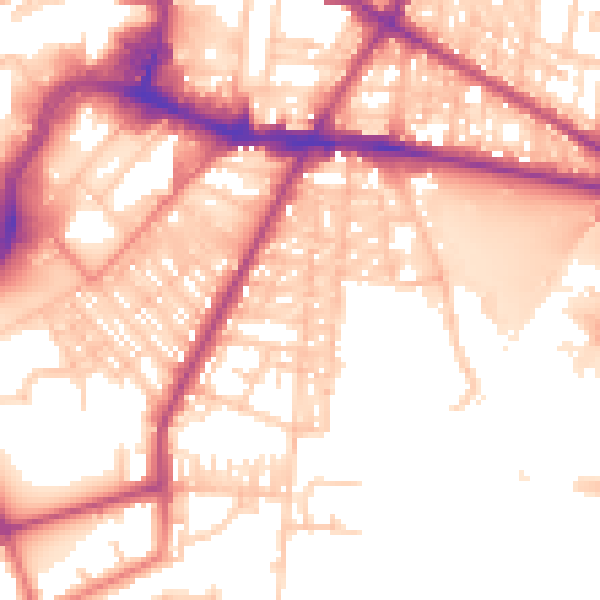
Daytime· 07:00 – 23:00
56.6dB
Night-time· 23:00 – 07:00
48.2dB