Are you a property professional?Get qualified leads from motivated homeowners.
Get started5 Newton Drive, Greenmount, Bury, BL8 4DH
About 5 Newton Drive
A plain-English summary derived from public records, EPC certificates, sold prices and local data.
5 Newton Drive is a two-bedroom detached house in Greenmount, Bury, Bury (BL8 4DH). It has a recorded floor area of 86 m² (around 926 sq ft), construction records dating it to 1967-1975 and council tax band D. The latest certificate (June 2018) shows an F (score 37), near the bottom of the EPC scale. The recommended improvements would lift it to B (score 85), a 4-band jump.
At 86 m² it's 17.2% smaller than the typical home in the postcode (104 m² median across 22 EPCs). On energy efficiency it sits in the bottom 10% of properties in this postcode — significant headroom for improvement. Today's modelled estimate of £379,000 is 33% above the 2018 sale price. On a £-per-square-foot basis, the last sale (£308/sq ft) was about 31.2% above the typical sold price in the postcode. Last sale on file: £285,000 in December 2018.
What this property has
Pulled from EPC certificates, claim submissions and our property model. Empty categories are hidden — we only show what's known.
Inside
- Bedrooms2
- Bathrooms1
- Dining roomYes
Outside
- Private garden
Energy performance
Every EPC certificate filed against this property — current rating, recorded improvements, and where there's headroom to reach a higher band.
5 Newton Drive sits at the bottom of the postcode for energy efficiency — meaningful headroom to improve.
EPC Rating
A
B
C
D
E
F
F37
G
Main Heating
Gas
Main Fuel
Gas
Hot Water
Poor
Windows
Average
CO2 Emissions
8.4 t/year
Occupancy
Owner Occupied
Sales history & valuation
Recorded transactions, our model's current estimate, and a quick read on what neighbouring properties have sold for.
5 Newton Drive valuation sits well clear of the typical sold price in this postcode.
Current estimate
See how we calculated this£379,000
Modelled from EPC, postcode comparables.
Last sold (2018)
£285,000
Recorded with HM Land Registry.
Sales timeline
Launch offer · 33% off
Buying 5 Newton Drive, Greenmount, Bury, BL8 4DH? Know what you're getting into
Everything a buyer needs to know about this property, compiled into one in-depth report so there are no surprises after you offer.
Spot red flags before you buy
An AI-written breakdown of everything that matters
Versus other Newton Drive homes
Four headline reads against 22 similar houses on this street, drawn from the latest EPC and Land Registry data.
5 Newton Drive is notably below the street on epc rating.
Price per m²
£3,314
Street avg £2,978
Floor Area
86 m²
Street avg 113 m²
Habitable Rooms
4 rooms
Street avg 5 rooms
Similar properties nearby
A handful of close matches in the same postcode area, ranked by likeness on bedrooms, type and floor area.
The neighbourhood at a glance
A condensed read of the local area. Each tile links through to the full breakdown on the Bury district page.
Crime
1/mo
Steady year-on-year across the wider district.
Nearest stop
0.2 km
Emmanuel Church Centre — bus stop.
Road noise across the postcode
Modelled day and night-time noise levels around BL8 4DH from Defra's strategic mapping. The pin marks this postcode's centroid.
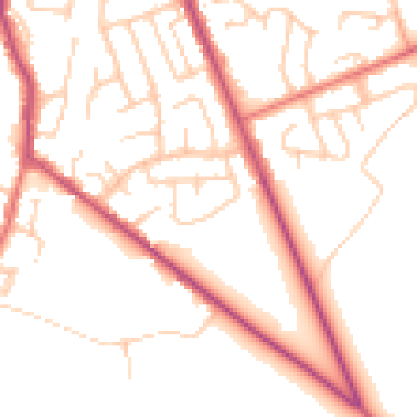
Daytime· 07:00 – 23:00
51.4dB

Everything within walking distance
Schools, transport stops and scenic spots near this property — 49 points of interest in total.
Common questions
The questions buyers, sellers and homeowners most often ask about 5 Newton Drive, Greenmount, Bury, BL8 4DH. Each answer is also embedded as structured data for search engines.
