Are you a property professional?Get qualified leads from motivated homeowners.
Get started33 Newton Drive, Greenmount, Bury, BL8 4DH
1 planning record
About 33 Newton Drive
A plain-English summary derived from public records, EPC certificates, sold prices and local data.
33 Newton Drive is a two-bedroom detached house in Greenmount, Bury, Bury (BL8 4DH). It has a recorded floor area of 85 m² (around 915 sq ft), construction records dating it to 1967-1975 and council tax band D. The latest certificate (December 2022) shows a D (score 61), on the cusp of jumping into the C band. The recommended improvements would push it to C (score 79).
One planning record on file: an extension approved in 2023. Past consents include an extension, a garage conversion and a conservatory, meaningful when judging how the property has evolved. On a £-per-square-foot basis, the last sale (£404/sq ft) was about 72.3% above the typical sold price in the postcode. At 85 m² it's 18.2% smaller than the typical home in the postcode (104 m² median across 22 EPCs). Most recent transfer: February 2023 at £370,000.
What this property has
Pulled from EPC certificates, claim submissions and our property model. Empty categories are hidden — we only show what's known.
Inside
- Bedrooms2
- Bathrooms1
Energy performance
Every EPC certificate filed against this property — current rating, recorded improvements, and where there's headroom to reach a higher band.
EPC Rating
A
B
C
D
D61
E
F
G
Main Heating
Gas
Main Fuel
Gas
Hot Water
Good
Windows
Average
CO2 Emissions
4.4 t/year
Occupancy
Owner Occupied
Planning history
Applications and permits filed against 33 Newton Drive, Greenmount, Bury, BL8 4DH, sourced from the PlanIt planning register.
- Aug 2023Garage ConversionFullApprove with Conditions
Extension: Single storey · Rear of property
Replace existing conservatory with single storey rear extension; Conversion of existing garage into living accommodation and alterations to window openings
Sales history & valuation
Recorded transactions, our model's current estimate, and a quick read on what neighbouring properties have sold for.
33 Newton Drive valuation sits well clear of the typical sold price in this postcode.
Current estimate
See how we calculated this£392,000
Modelled from EPC, postcode comparables.
Last sold (2023)
£370,000
Recorded with HM Land Registry.
Sales timeline
Launch offer · 33% off
Buying 33 Newton Drive, Greenmount, Bury, BL8 4DH? Know what you're getting into
Everything a buyer needs to know about this property, compiled into one in-depth report so there are no surprises after you offer.
Spot red flags before you buy
An AI-written breakdown of everything that matters
Versus other Newton Drive homes
Four headline reads against 22 similar houses on this street, drawn from the latest EPC and Land Registry data.
33 Newton Drive outperforms the street on price per m² by a wide margin.
Price per m²
£4,353
Street avg £2,926
Floor Area
85 m²
Street avg 113 m²
Habitable Rooms
5 rooms
Similar properties nearby
A handful of close matches in the same postcode area, ranked by likeness on bedrooms, type and floor area.
The neighbourhood at a glance
A condensed read of the local area. Each tile links through to the full breakdown on the Bury district page.
Crime
1/mo
Steady year-on-year across the wider district.
Nearest stop
0.2 km
Emmanuel Church Centre — bus stop.
Road noise across the postcode
Modelled day and night-time noise levels around BL8 4DH from Defra's strategic mapping. The pin marks this postcode's centroid.
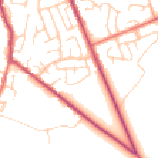
Daytime· 07:00 – 23:00
51.4dB

Everything within walking distance
Schools, transport stops and scenic spots near this property — 49 points of interest in total.
Common questions
The questions buyers, sellers and homeowners most often ask about 33 Newton Drive, Greenmount, Bury, BL8 4DH. Each answer is also embedded as structured data for search engines.
