1 Booth Way, Tottington, Bury, BL8 3JL
About 1 Booth Way
1 Booth Way is a detached house in Tottington, Bury, Bury (BL8 3JL). It has a recorded floor area of 116 m² (around 1245 sq ft), construction records dating it to 1967-1975 and council tax band D. The latest certificate (March 2009) shows an E (score 51), well below the UK norm with real room to improve. The recommended improvements would lift it to C (score 71), a 2-band jump. The latest certificate is from March 2009, so improvements made since then won't be reflected.
At 116 m² the property is well over the postcode median (78 m² across 14 EPCs), placing it in the larger end of the local stock.
Know exactly what you're buying at 1 Booth Way
Before you offer, see what the listing won't tell you, the true value, the red flags and the full history.
Already flagged here
Valuation
against the asking price
Risks
planning & flood
Sold prices
similar homes nearby
Trends
the local market
Energy performance
1 Booth Way's carbon output runs well above what efficient homes in the postcode produce.
EPC Expired
This certificate is over 10 years old and is no longer valid.Expired 27 Mar 2019
EPC Rating
Planning history
1 Booth Way has no planning applications on record.
Notable planning nearby
1applications of note in the surrounding area
We flagged 1 thing worth checking at 1 Booth Way
Independent checks surfaced things a buyer would want to understand before offering. The report explains each one in full, with the underlying data and what to ask.
- Larger development activity nearby
30-day money-back guarantee
Sales history & valuation
1 Booth Way has no Land Registry sales on file, suggesting it has stayed in the same hands since registration began.
£304,000
Modelled from EPC, postcode comparables.
No sales recorded with HM Land Registry
That can mean the property has never traded since the registry began publishing in 1995, was a new build that hasn't been registered yet, or is held in the same hands long-term.
Median price across the last 5 sales in BL8 3JL: £205,000 (2024–2019).
Nearby sales in BL8 3JL
30 Booth Way, Tottington, Bury, BL8 3JL
Sold Oct 2024
£282,00021 Booth Way, Tottington, Bury, BL8 3JL
Sold Sept 2023
£205,0004 Booth Way, Tottington, Bury, BL8 3JL
Sold Jun 2021
£255,0006 Booth Way, Tottington, Bury, BL8 3JL
Sold Dec 2018
£187,00042 Booth Way, Tottington, Bury, BL8 3JL
Sold Sept 2017
£148,000
Everything we know about 1 Booth Way, in one report
What it's really worth, what could be wrong, and the planning, sales and area data in full.
What we flagged
- Larger development activity nearby

Versus other Booth Way homes
1 Booth Way outperforms the street on floor area by a wide margin.
EPC Rating
51 (E)
Street avg 58 (D)
Floor Area
116 m²
Street avg 78 m²
CO₂ Emissions
7.0 t/year
Street avg 5.0 t/year
Habitable Rooms
7 rooms
Street avg 5 rooms
Similar properties nearby
1 Brammay Drive, Tottington
BL8 3HS
1 Camberley Close, Tottington
BL8 3EA
1 Calderwood Close, Tottington
BL8 3LE
1 Cann Street, Tottington
BL8 3PE
1 Albemarle Place, Tottington
BL8 3GN
1 Campbell Close, Walshaw
BL8 3BB
1 Acresbrook Walk, Tottington
BL8 3JR
1 Brownhills Close, Tottington
BL8 3LF
The neighbourhood at a glance
Daytime road noise here sits well below conversation level — a quiet pocket of the postcode.
Crime
1/mo
Steady year-on-year across the wider district.
Nearest stop
0.1 km
Booth Hall Drive — bus stop.
Closest school
0.2 km
Tottington Primary School. 20 schools nearby.
Go deeper on the local area
The full report breaks down crime, transport links, schools and air quality in depth.
Road noise across the postcode
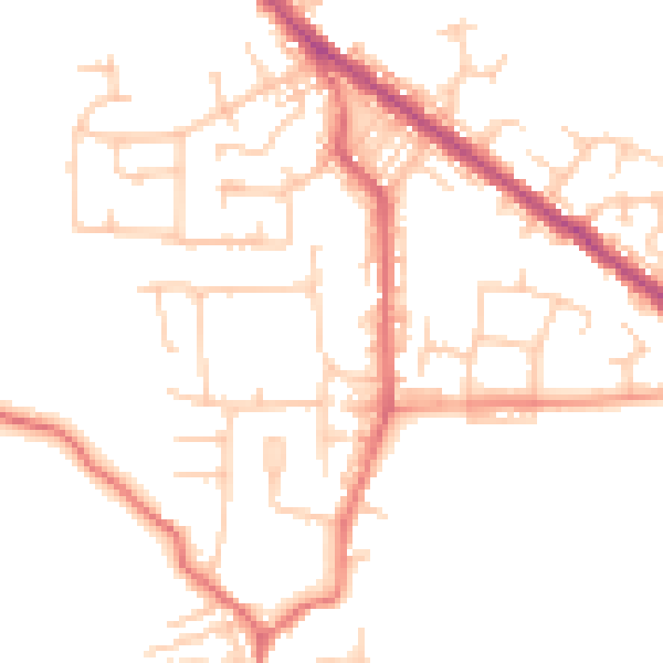
Daytime· 07:00 – 23:00
48.2dB

Night-time· 23:00 – 07:00
38.3dB