16 Court Road, Bournemouth, BH9 3DL
About 16 Court Road
16 Court Road is a three-bedroom detached house in Bournemouth (BH9 3DL). It has a recorded floor area of 94 m² (around 1012 sq ft), construction records dating it to 1950-1966 and council tax band D. The latest certificate (July 2019) shows a D (score 62), on the cusp of jumping into the C band. The recommended improvements would lift it to B (score 81), a 2-band jump.
Untraded for 22 years, with the last transfer in June 2004. Today's modelled estimate of £389,000 sits 94.5% above the 2004 sale of £200,000. At 94 m² it's 16.8% smaller than the typical home in the postcode (113 m² median across 21 EPCs).
What this property has
Inside
- Bedrooms3
- Dining roomYes
Outside
- Private gardenYes
Building
- RefurbishedYes
Everything you need to know about 16 Court Road
The true value, the hidden risks and the full sale history, in one report.
Pick your report · every report is £14.99
One time fee only - money back guarantee

The data behind every report


Energy performance
Recommended upgrades on file would lift this property by multiple EPC bands.
EPC Rating
Get a survey for this property
Level 2 HomeBuyer Report
We've checked 10 risk factors against the available data for this property and believe a Level 2 HomeBuyer Report could be a suitable option for you.
From £595 · Includes VAT
Planning history
16 Court Road has no planning applications on record.
But the area is active
1 notable application nearby — larger schemes and conversions that could reshape the street. The report maps them all.
Sales history & valuation
16 Court Road valuation sits well clear of the typical sold price in this postcode.
£389,000
Modelled from EPC, postcode comparables.
£200,000
Recorded with HM Land Registry.
Sales timeline
8 June 2004Most recent
£200,000
Median price across the last 5 sales in BH9 3DL: £374,500 (2021–2019).
Nearby sales in BH9 3DL
Versus other Court Road homes
On floor area, 16 Court Road runs well behind the street norm.
Price per m²
£2,128
Street avg £2,675
Floor Area
94 m²
Street avg 118 m²
Habitable Rooms
4 rooms
Street avg 6 rooms
CO₂ Emissions
4.3 t/year
Street avg 5.7 t/year
Everything you need to know about 16 Court Road
The true value, the hidden risks and the full sale history, in one report.
Pick your report · every report is £14.99
One time fee only - money back guarantee
The data behind every report
Similar properties nearby
1 Huntvale Road
BH9 3HW
1 Littlecroft Avenue
BH9 3HR
1 Franklin Road
BH9 3AY
1 Castle Lane West
BH9 3LJ
1 Forest View Close
BH9 3BJ
1 Haverstock Road
BH9 3HQ
1 Iwerne Close
BH9 3PW
1 Knowlton Gardens
BH9 3RB
The neighbourhood at a glance
Daytime road noise here sits well below conversation level — a quiet pocket of the postcode.
Crime
4/mo
Steady year-on-year across the wider district.
Nearest stop
0.1 km
St Francis Church — bus stop.
Closest school
0.2 km
Queen's Park Academy. 27 schools nearby.
Go deeper on the local area
A Local Area report breaks down crime, transport links, schools and air quality in depth.
Road noise across the postcode
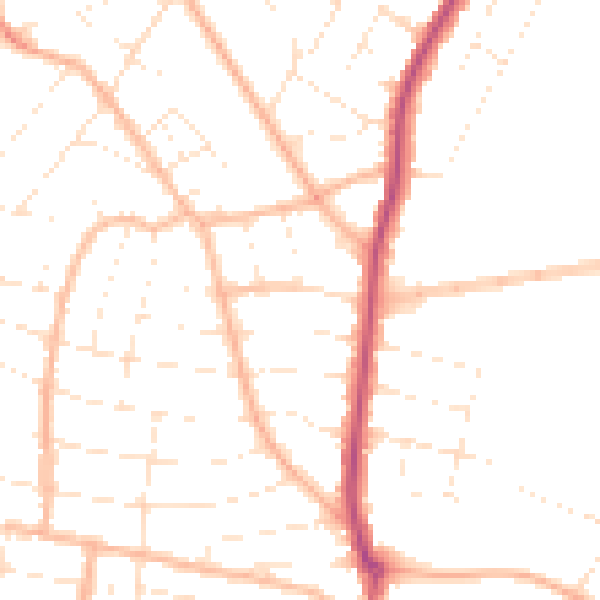
Daytime· 07:00 – 23:00
48.7dB

Night-time· 23:00 – 07:00
38.9dB