39b, Parker Road, Bournemouth, BH9 1AX
About 39b
39b is a one-bedroom detached house in Bournemouth (BH9 1AX). It has a recorded floor area of 50 m² (around 538 sq ft), construction records dating it to 1930-1949 and council tax band A. At 50 m² this is the 6th smallest of 26 units on EPC record in the building, where floor areas span 37–119 m². The building's EPC ratings span F to C across 26 units on file. The home occupies a cul-de-sac position. The latest certificate (October 2019) shows a D (score 67), on the cusp of jumping into the C band. The recommended improvements would push it to C (score 73).
Untraded for 27 years, with the last transfer in July 1999. Only one transfer is on record with HM Land Registry, suggesting it has stayed in the same hands for a long time. Today's modelled estimate of £161,000 sits 312.8% above the 1999 sale of £39,000. On a £-per-square-foot basis, the last sale (£72/sq ft) was about 57.5% below the postcode norm. At 50 m² it sits well below the postcode median (96 m² across 25 EPCs), making it one of the more compact homes locally. 1 bedrooms is on the smaller side for this postcode, where 3 is the typical count.
What this property has
Inside
- Bedrooms1
- Dining roomYes
Outside
- Cul-de-sacYes
Everything you need to know about 39b
The true value, the hidden risks and the full sale history, in one report.
Pick your report · every report is £14.99
One time fee only - money back guarantee

The data behind every report


Energy performance
EPC Rating
Get a survey for this property
Level 2 HomeBuyer Report
We've checked 10 risk factors against the available data for this property and believe a Level 2 HomeBuyer Report could be a suitable option for you.
From £495 · Includes VAT
Planning history
39b has no planning applications on record.
But the area is active
78 notable applications nearby — larger schemes and conversions that could reshape the street. The report maps them all.
Sales history & valuation
39b's modelled value sits at over four times its earliest registered sale price (1999).
£161,000
Modelled from EPC, postcode comparables.
£39,000
Recorded with HM Land Registry.
Sales timeline
22 July 1999Most recent
£39,000
Median price across the last 5 sales in BH9 1AX: £278,700 (2023–2020).
Nearby sales in BH9 1AX
Versus other Parker Road homes
39b is notably below the street on price per m².
Price per m²
£780
Street avg £2,754
Floor Area
50 m²
Street avg 49 m²
Habitable Rooms
3 rooms
Street avg 2 rooms
CO₂ Emissions
2.3 t/year
Street avg 2.4 t/year
Everything you need to know about 39b
The true value, the hidden risks and the full sale history, in one report.
Pick your report · every report is £14.99
One time fee only - money back guarantee
The data behind every report
Similar properties nearby
The neighbourhood at a glance
Crime
4/mo
Steady year-on-year across the wider district.
Nearest stop
0.2 km
Winton Banks — bus stop.
Closest school
0.5 km
St Luke's Church of England Primary School. 26 schools nearby.
Go deeper on the local area
A Local Area report breaks down crime, transport links, schools and air quality in depth.
Road noise across the postcode
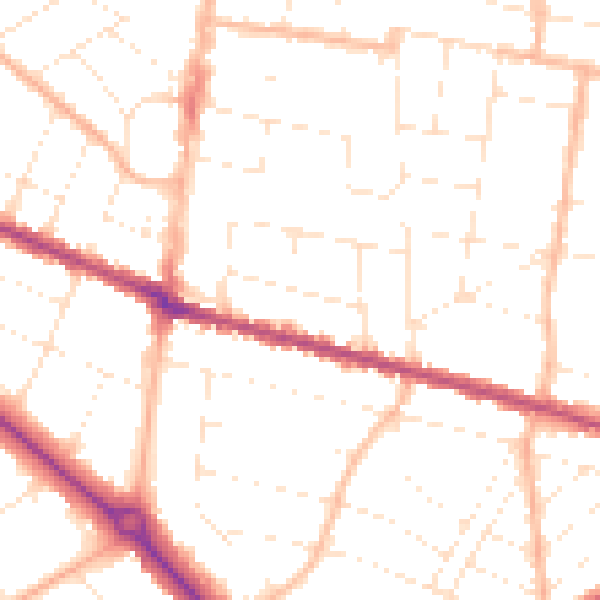
Daytime· 07:00 – 23:00
50.2dB

Night-time· 23:00 – 07:00
39.8dB