Upper Flat, 161 Alma Road, Bournemouth, BH9 1AG
About Upper Flat
Upper Flat is a detached house in Bournemouth (BH9 1AG). It has a recorded floor area of 104 m² (around 1119 sq ft), construction records dating it to 1930-1949 and council tax band A. The latest certificate (March 2022) shows a D (score 58), a step below the typical UK home. When first surveyed in August 2009 the rating was E, the property has climbed 1 band since. Between certificates, roof efficiency went from Average to Good and lighting went from Very Poor to Very Good. The recommended improvements would push it to C (score 77).
Today's modelled estimate of £275,000 is 22.2% above the 2017 sale price. On a £-per-square-foot basis, the last sale (£201/sq ft) was about 28.9% above the typical sold price in the postcode. 9 years since the last transfer (September 2017).
Everything you need to know about Upper Flat
The true value, the hidden risks and the full sale history, in one report.
Pick your report · every report is £14.99
One time fee only - money back guarantee

The data behind every report


Energy performance
EPC Rating
Property Improvements
Changes detected from historical EPC data
Heating controls changed
Windows upgraded, improving insulation
Roof insulation improved
More low energy lighting installed
Get a survey for this property
Level 2 HomeBuyer Report
We've checked 10 risk factors against the available data for this property and believe a Level 2 HomeBuyer Report could be a suitable option for you.
From £545 · Includes VAT
Planning history
Upper Flat has no planning applications on record.
But the area is active
78 notable applications nearby — larger schemes and conversions that could reshape the street. The report maps them all.
Sales history & valuation
Upper Flat valuation sits well clear of the typical sold price in this postcode.
£275,000
Modelled from EPC, postcode comparables.
£225,000
Recorded with HM Land Registry.
Sales timeline
10 September 2017Most recent
£225,000
Median price across the last 5 sales in BH9 1AG: £317,850 (2021–2015).
Nearby sales in BH9 1AG
Versus other Alma Road homes
Upper Flat is notably below the street on epc rating.
Price per m²
£2,163
Street avg £2,221
Floor Area
104 m²
Street avg 72 m²
Habitable Rooms
5 rooms
Street avg 4 rooms
CO₂ Emissions
5.1 t/year
Street avg 3.0 t/year
Everything you need to know about Upper Flat
The true value, the hidden risks and the full sale history, in one report.
Pick your report · every report is £14.99
One time fee only - money back guarantee
The data behind every report
Similar properties nearby
1a, Flat 5, Cardigan Road
BH9 1BJ
5a, Flat, Brownen Road
BH9 1HH
19a, First Floor Flat, Midland Road
BH9 1PA
5a Post Office Buildings, Flat 3, Cardigan Road
BH9 1BJ
84b, First Floor Flat, Alma Road
BH9 1AN
84b, Ground Floor Flat, Alma Road
BH9 1AN
1b, Flat 2, Cardigan Road
BH9 1BJ
2 4, Flat 2, Maxwell Road
BH9 1DQ
The neighbourhood at a glance
Daytime road noise here sits well below conversation level — a quiet pocket of the postcode.
Crime
4/mo
Steady year-on-year across the wider district.
Nearest stop
0.1 km
Heron Court Road — bus stop.
Closest school
0.8 km
St Luke's Church of England Primary School. 28 schools nearby.
Go deeper on the local area
A Local Area report breaks down crime, transport links, schools and air quality in depth.
Road noise across the postcode
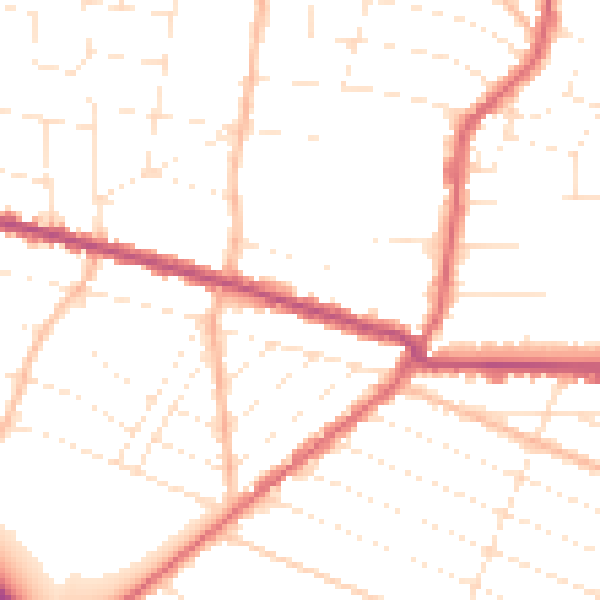
Daytime· 07:00 – 23:00
49.9dB
Night-time· 23:00 – 07:00
40.1dB