7 Charminster Close, Bournemouth, BH8 9SW
About 7 Charminster Close
7 Charminster Close is a two-bedroom semi-detached house in Bournemouth (BH8 9SW). It has a recorded floor area of 52 m² (around 560 sq ft), construction records dating it to 1930-1949 and council tax band A. At 52 m² this is the smallest unit on EPC record across the building (52–55 m²). The building's EPC ratings span D to C, with this unit at the top. The latest certificate (April 2016) shows a C (score 70). The latest certificate is from April 2016, so improvements made since then won't be reflected.
Untraded for 26 years, with the last transfer in August 2000. Across 1999–2000, sale prices on this property compounded at 30.4% per year. Today's modelled estimate of £171,000 sits 210.9% above the 2000 sale of £55,000.
What this property has
Inside
- Bedrooms2
Building
- Central heatingYes
Everything you need to know about 7 Charminster Close
The true value, the hidden risks and the full sale history, in one report.
Pick your report · every report is £14.99
One time fee only - money back guarantee

The data behind every report


Energy performance
EPC Expired
This certificate is over 10 years old and is no longer valid.Expired 18 Apr 2026
EPC Rating
Get a survey for this property
Level 2 HomeBuyer Report
We've checked 10 risk factors against the available data for this property and believe a Level 2 HomeBuyer Report could be a suitable option for you.
From £495 · Includes VAT
Planning history
7 Charminster Close has no planning applications on record.
But the area is active
7 notable applications nearby — larger schemes and conversions that could reshape the street. The report maps them all.
Sales history & valuation
7 Charminster Close's modelled value sits at over four times its earliest registered sale price (1999).
£171,000
Modelled from EPC, postcode comparables and a sale-price growth of 30.4% per year over 2 years.
£55,000
Growth on file: 30.4% per year over 2 years.
Sales timeline
31 August 2000Most recent
£55,000
+54.9%over 1 year6 January 1999
£35,500
Median price across the last 3 sales in BH8 9SW: £72,500 (2003–2002).
Versus other Charminster Close homes
On floor area, 7 Charminster Close runs well behind the street norm.
EPC Rating
70 (C)
Street avg 68 (D)
Floor Area
52 m²
Street avg 54 m²
CO₂ Emissions
2.0 t/year
Street avg 2.6 t/year
Habitable Rooms
3 rooms
Street avg 3 rooms
Everything you need to know about 7 Charminster Close
The true value, the hidden risks and the full sale history, in one report.
Pick your report · every report is £14.99
One time fee only - money back guarantee
The data behind every report
Similar properties nearby
1 Cooper Dean Drive
BH8 9LN
1 Longbarrow Close
BH8 9LL
1 Cromer Road
BH8 9BW
1 Midwood Avenue
BH8 9LX
1 Chapel Gardens
BH8 9BS
1 Chigwell Road
BH8 9HW
1 Howard Road
BH8 9DX
1 Castle Gate Close
BH8 9UH
The neighbourhood at a glance
Daytime road noise here sits well below conversation level — a quiet pocket of the postcode.
Crime
14/mo
Steady year-on-year across the wider district.
Nearest stop
0.1 km
Uplands Road — bus stop.
Closest school
0.3 km
St. Walburga's Catholic Primary School. 25 schools nearby.
Go deeper on the local area
A Local Area report breaks down crime, transport links, schools and air quality in depth.
Road noise across the postcode
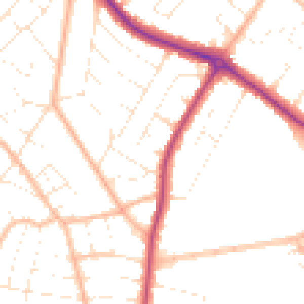
Daytime· 07:00 – 23:00
49.5dB

Night-time· 23:00 – 07:00
40.0dB