13 Copsewood Avenue, Bournemouth, BH8 9NG
About 13 Copsewood Avenue
13 Copsewood Avenue is a two-bedroom detached house in Bournemouth (BH8 9NG). It has a recorded floor area of 97 m² (around 1044 sq ft), construction records dating it to 1950-1966 and council tax band D. The latest certificate (January 2009) shows a D (score 66), on the cusp of jumping into the C band. The latest certificate is from January 2009, so improvements made since then won't be reflected. Other recorded features include notable views.
Held since March 2009 — that's 17 years off the open market, well above the local norm. That sale fell during the post-crash dip, which often skews comparisons against later neighbouring sales. Across 2006–2009, sale prices on this property compounded at 8.9% per year. Today's modelled estimate of £453,000 is 31.3% above the 2009 sale price. On a £-per-square-foot basis, the last sale (£330/sq ft) was about 27.6% above the typical sold price in the postcode.
What this property has
Inside
- Bedrooms2
Outside
- Private gardenRear
- Notable viewsYes
Everything you need to know about 13 Copsewood Avenue
The true value, the hidden risks and the full sale history, in one report.
Pick your report · every report is £14.99
One time fee only - money back guarantee

The data behind every report


Energy performance
13 Copsewood Avenue's EPC is over a decade old — improvements since won't be reflected.
EPC Expired
This certificate is over 10 years old and is no longer valid.Expired 16 Jan 2019
EPC Rating
Get a survey for this property
Level 2 HomeBuyer Report
We've checked 10 risk factors against the available data for this property and believe a Level 2 HomeBuyer Report could be a suitable option for you.
From £695 · Includes VAT
Planning history
13 Copsewood Avenue has no planning applications on record.
But the area is active
7 notable applications nearby — larger schemes and conversions that could reshape the street. The report maps them all.
Sales history & valuation
The latest sale fell during the post-2008 dip, often a low-water mark in price comparisons.
£453,000
Modelled from EPC, postcode comparables and a sale-price growth of 8.9% per year over 2 years.
£345,000
Growth on file: 8.9% per year over 2 years.
Sales timeline
20 March 2009Most recent
£345,000
+21.1%over 2 years19 December 2006
£285,000
Median price across the last 5 sales in BH8 9NG: £540,000 (2022–2013).
Nearby sales in BH8 9NG
1 Copsewood Avenue, Bournemouth, BH8 9NG
Sold Sept 2022
£685,00011 Copsewood Avenue, Bournemouth, BH8 9NG
Sold Dec 2020
£570,0007 Copsewood Avenue, Bournemouth, BH8 9NG
Sold Nov 2017
£540,0006 Copsewood Avenue, Bournemouth, BH8 9NG
Sold Aug 2013
£305,00017 Copsewood Avenue, Bournemouth, BH8 9NG
Sold Aug 2013
£339,950
Versus other Copsewood Avenue homes
13 Copsewood Avenue outperforms the street on co₂ emissions by a wide margin.
Price per m²
£3,557
Street avg £3,384
Floor Area
97 m²
Street avg 125 m²
Habitable Rooms
3 rooms
Street avg 5 rooms
CO₂ Emissions
3.1 t/year
Street avg 5.5 t/year
Everything you need to know about 13 Copsewood Avenue
The true value, the hidden risks and the full sale history, in one report.
Pick your report · every report is £14.99
One time fee only - money back guarantee
The data behind every report
Similar properties nearby
1 Midwood Avenue
BH8 9LX
1 Cromer Road
BH8 9BW
1 Longbarrow Close
BH8 9LL
1 Cooper Dean Drive
BH8 9LN
1 Chigwell Road
BH8 9HW
1 Castle Gate Close
BH8 9UH
1 Chapel Gardens
BH8 9BS
1 Copsewood Avenue
BH8 9NG
The neighbourhood at a glance
Crime
14/mo
Steady year-on-year across the wider district.
Nearest stop
0.5 km
Mount Pleasant Drive — bus stop.
Closest school
0.7 km
The Bishop of Winchester Academy. 24 schools nearby.
Go deeper on the local area
A Local Area report breaks down crime, transport links, schools and air quality in depth.
Road noise across the postcode
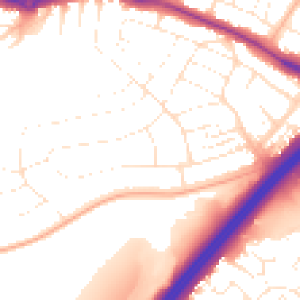
Daytime· 07:00 – 23:00
53.2dB

Night-time· 23:00 – 07:00
43.9dB