6 Myrtle Road, Bournemouth, BH8 8TA
About 6 Myrtle Road
6 Myrtle Road is a five-bedroom detached house in Bournemouth (BH8 8TA). It has a recorded floor area of 164 m² (around 1765 sq ft), construction records dating it to 1930-1949 and council tax band D. The latest certificate (June 2017) shows a C (score 69), just inside the C band.
At 164 m² it's 28.6% larger than the typical home in the postcode (128 m² median across 6 EPCs). On energy efficiency it sits in the top 10% of properties in this postcode. 5 bedrooms is on the larger side for this postcode, where 3 is the typical count. Last sale on file: £550,000 in February 2022. Across the public record there are 5 sales, relatively high churn for a single property. That sale was during the post-pandemic price surge, when transactions cleared materially above pre-2020 trend. Across 1999–2022, sale prices on this property compounded at 7% per year. Today's modelled estimate of £605,000 is 10% above the 2022 sale price. On a £-per-square-foot basis, the last sale (£312/sq ft) was about 66.6% above the typical sold price in the postcode.
What this property has
Inside
- Bedrooms5
- Dining roomYes
- Utility roomYes
- CloakroomYes
- EnsuiteYes
- FireplaceYes
Outside
- Private gardenRear
- GarageYes
Everything you need to know about 6 Myrtle Road
The true value, the hidden risks and the full sale history, in one report.
Pick your report · every report is £14.99
One time fee only - money back guarantee

The data behind every report


Energy performance
6 Myrtle Road ranks among the most efficient homes in the postcode for energy use.
EPC Rating
Get a survey for this property
Level 2 HomeBuyer Report
We've checked 10 risk factors against the available data for this property and believe a Level 2 HomeBuyer Report could be a suitable option for you.
From £895 · Includes VAT
Planning history
6 Myrtle Road has no planning applications on record.
But the area is active
34 notable applications nearby — larger schemes and conversions that could reshape the street. The report maps them all.
Sales history & valuation
Latest sale on 6 Myrtle Road was the highest on Land Registry record across the postcode.
£605,000
Modelled from EPC, postcode comparables and a sale-price growth of 7.0% per year over 23 years.
£550,000
Growth on file: 7.0% per year over 23 years.
Sales timeline
3 February 2022Most recent
£550,000
+20.9%over 4 years30 November 2017
£455,000
+71.7%over 11 years26 April 2006
£265,000
+11.4%over 3 years24 October 2002
£237,950
+98.3%over 3 years8 July 1999
£120,000
Median price across the last 5 sales in BH8 8TA: £257,000 (2022–2014).
Nearby sales in BH8 8TA
Versus other Myrtle Road homes
On price per m², 6 Myrtle Road stands well clear of the street.
Price per m²
£3,354
Street avg £2,100
Floor Area
164 m²
Street avg 134 m²
Habitable Rooms
7 rooms
Street avg 7 rooms
CO₂ Emissions
5.3 t/year
Street avg 4.9 t/year
Everything you need to know about 6 Myrtle Road
The true value, the hidden risks and the full sale history, in one report.
Pick your report · every report is £14.99
One time fee only - money back guarantee
The data behind every report
Similar properties nearby
The neighbourhood at a glance
Crime
14/mo
Steady year-on-year across the wider district.
Nearest stop
0.2 km
Gilbert Road — bus stop.
Closest school
0.8 km
Malmesbury Park Primary School. 25 schools nearby.
Go deeper on the local area
A Local Area report breaks down crime, transport links, schools and air quality in depth.
Road noise across the postcode
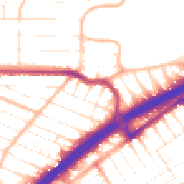
Daytime· 07:00 – 23:00
53.2dB

Night-time· 23:00 – 07:00
43.7dB