3 Wilkins Gardens, Bournemouth, BH8 8DJ
About 3 Wilkins Gardens
3 Wilkins Gardens is a two-bedroom semi-detached house in Bournemouth (BH8 8DJ). It has a recorded floor area of 59 m² (around 635 sq ft) and council tax band B. At 59 m² this is the 4th smallest of 15 units on EPC record in the building, where floor areas span 49–132 m². The latest certificate (November 2019) shows a C (score 79), near the top of the C band.
It hasn't traded since November 2008, a hold of 18 years that's notably long for the area. That sale landed at the peak of the pre-credit-crunch market, which is a useful reference point when interpreting the price. At 59 m² it sits well below the postcode median (87 m² across 14 EPCs), making it one of the more compact homes locally. Today's modelled estimate of £199,000 is 37.2% above the 2008 sale price.
What this property has
Inside
- Bedrooms2
- Bathrooms1
- Open-plan layoutYes
Outside
- Private gardenYes
- GarageIntegral
Building
- Heating systemGas
- RefurbishedYes
Everything you need to know about 3 Wilkins Gardens
The true value, the hidden risks and the full sale history, in one report.
Pick your report · every report is £14.99
One time fee only - money back guarantee

The data behind every report


Energy performance
3 Wilkins Gardens's carbon output is low for the local stock.
EPC Rating
Get a survey for this property
Level 2 HomeBuyer Report
We've checked 10 risk factors against the available data for this property and believe a Level 2 HomeBuyer Report could be a suitable option for you.
From £495 · Includes VAT
Planning history
3 Wilkins Gardens has no planning applications on record.
But the area is active
34 notable applications nearby — larger schemes and conversions that could reshape the street. The report maps them all.
Sales history & valuation
The latest sale landed at the peak of the pre-credit-crunch market — a high-water reference point.
£199,000
Modelled from EPC, postcode comparables.
£145,000
Recorded with HM Land Registry.
Sales timeline
21 November 2008Most recent
£145,000
Median price across the last 5 sales in BH8 8DJ: £350,000 (2025–2023).
Nearby sales in BH8 8DJ
15 Wilkins Gardens, Bournemouth, BH8 8DJ
Sold Oct 2025
£210,0009 Wilkins Gardens, Bournemouth, BH8 8DJ
Sold Dec 2024
£350,00010 Wilkins Gardens, Bournemouth, BH8 8DJ
Sold Nov 2024
£375,0008 Wilkins Gardens, Bournemouth, BH8 8DJ
Sold Feb 2024
£280,00014 Wilkins Gardens, Bournemouth, BH8 8DJ
Sold Mar 2023
£385,000
Versus other Wilkins Gardens homes
On price per m², 3 Wilkins Gardens runs well behind the street norm.
Price per m²
£2,458
Street avg £3,515
Floor Area
59 m²
Street avg 55 m²
Habitable Rooms
3 rooms
Street avg 3 rooms
CO₂ Emissions
1.3 t/year
Street avg 1.5 t/year
Everything you need to know about 3 Wilkins Gardens
The true value, the hidden risks and the full sale history, in one report.
Pick your report · every report is £14.99
One time fee only - money back guarantee
The data behind every report
Similar properties nearby
1 Wessex Gate, Malmesbury Park Road
BH8 8PD
1 Chelsea Gardens
BH8 8EL
1 Orcheston Road
BH8 8SP
1 Portchester Road
BH8 8JT
1 Capstone Gardens
BH8 8RU
1 Bennett Road
BH8 8QF
1 Avon Gardens
BH8 8BG
1 St Leonards Road
BH8 8QH
The neighbourhood at a glance
Rail-style transport is unusually close for this postcode.
Crime
14/mo
Steady year-on-year across the wider district.
Nearest stop
0.2 km
Capstone Road — bus stop.
Closest school
0.4 km
Malmesbury Park Primary School. 26 schools nearby.
Go deeper on the local area
A Local Area report breaks down crime, transport links, schools and air quality in depth.
Road noise across the postcode
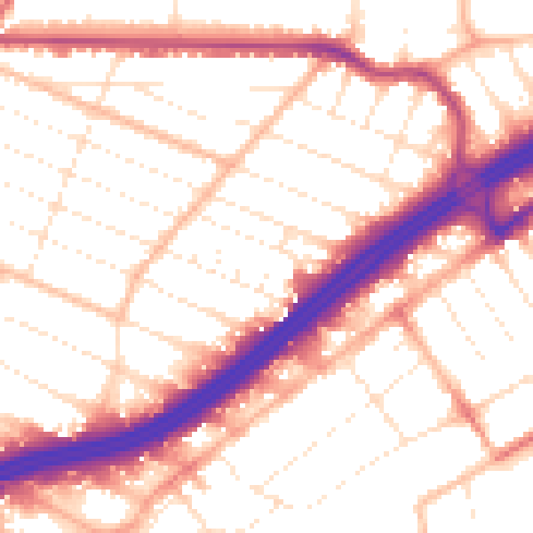
Daytime· 07:00 – 23:00
54.0dB

Night-time· 23:00 – 07:00
44.1dB