7 Calmore Close, Bournemouth, BH8 0NN
About 7 Calmore Close
7 Calmore Close is a three-bedroom mid-terrace house in Bournemouth (BH8 0NN). It has a recorded floor area of 84 m² (around 904 sq ft), construction records dating it to 1976-1982 and council tax band C. The latest certificate (April 2018) shows a C (score 72). The recommended improvements would push it to B (score 88). The home occupies a cul-de-sac position.
Across 1995–2019, sale prices on this property compounded at 7% per year. Today's modelled estimate of £341,000 is 26.3% above the 2019 sale price. On a £-per-square-foot basis, the last sale (£299/sq ft) was about 45.2% above the typical sold price in the postcode. Sold May 2019 for £270,000.
What this property has
Inside
- Bedrooms3
- Bathrooms2
- Dining roomYes
Outside
- Private gardenYes
- GarageYes
- Cul-de-sacYes
Building
- RefurbishedYes
Everything you need to know about 7 Calmore Close
The true value, the hidden risks and the full sale history, in one report.
Pick your report · every report is £14.99
One time fee only - money back guarantee

The data behind every report


Energy performance
EPC Rating
Get a survey for this property
Level 2 HomeBuyer Report
We've checked 10 risk factors against the available data for this property and believe a Level 2 HomeBuyer Report could be a suitable option for you.
From £595 · Includes VAT
Planning history
7 Calmore Close has no planning applications on record.
A planning report still maps activity across the surrounding area and reads this property's extension & conversion potential.
Sales history & valuation
Price for 7 Calmore Close has grown more than fourfold since the 1995 starting point.
£341,000
Modelled from EPC, postcode comparables and a sale-price growth of 7.0% per year over 24 years.
£270,000
Growth on file: 7.0% per year over 24 years.
Sales timeline
9 May 2019Most recent
£270,000
+196.7%over 18 years10 November 2000
£91,000
+65.5%over 5 years19 September 1995
£55,000
Median price across the last 5 sales in BH8 0NN: £310,000 (2025–2017).
Nearby sales in BH8 0NN
Versus other Calmore Close homes
On epc rating, 7 Calmore Close stands well clear of the street.
Price per m²
£3,214
Street avg £2,669
Floor Area
84 m²
Street avg 79 m²
Habitable Rooms
4 rooms
Street avg 4 rooms
CO₂ Emissions
2.7 t/year
Street avg 2.7 t/year
Everything you need to know about 7 Calmore Close
The true value, the hidden risks and the full sale history, in one report.
Pick your report · every report is £14.99
One time fee only - money back guarantee
The data behind every report
Similar properties nearby
1 Barrowgate Way
BH8 0HD
1 Braishfield Gardens
BH8 0QA
1 Calmore Close
BH8 0NN
1 Culford Close
BH8 0HX
1 Chesilbourne Grove
BH8 0BA
1 Bucklers Way
BH8 0EW
1 Downton Close
BH8 0EP
1 Ashurst Road
BH8 0NW
The neighbourhood at a glance
Daytime road noise here sits well below conversation level — a quiet pocket of the postcode.
Crime
14/mo
Steady year-on-year across the wider district.
Nearest stop
0.1 km
Hungerford Road — bus stop.
Closest school
0.3 km
Muscliff Primary School. 19 schools nearby.
Go deeper on the local area
A Local Area report breaks down crime, transport links, schools and air quality in depth.
Road noise across the postcode
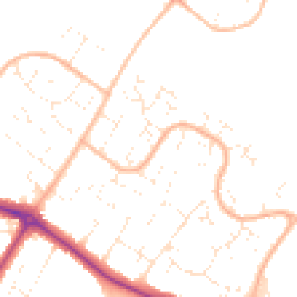
Daytime· 07:00 – 23:00
48.7dB

Night-time· 23:00 – 07:00
38.5dB