32 Chesildene Avenue, Bournemouth, BH8 0DS
About 32 Chesildene Avenue
32 Chesildene Avenue is a property in Bournemouth (BH8 0DS). It has council tax band C.
Untraded for 28 years, with the last transfer in February 1998. Across 1996–1998, sale prices on this property compounded at 11.9% per year.
Everything you need to know about 32 Chesildene Avenue
The true value, the hidden risks and the full sale history, in one report.
Pick your report · every report is £14.99
One time fee only - money back guarantee

The data behind every report


Energy performance
No EPC on record
This property doesn't have an Energy Performance Certificate yet. An EPC is required to sell or let — and unlocks our automated valuation.
Get a survey for this property
Level 2 HomeBuyer Report
We've checked 10 risk factors against the available data for this property and believe a Level 2 HomeBuyer Report could be a suitable option for you.
Planning history
32 Chesildene Avenue has no planning applications on record.
A planning report still maps activity across the surrounding area and reads this property's extension & conversion potential.
Sales history & valuation
32 Chesildene Avenue changed hands twice within eighteen months — unusual for the area.
£60,000
Growth on file: 11.9% per year over 1 year.
Sales timeline
6 February 1998Most recent
£60,000
+14.3%over 1 year29 November 1996
£52,500
Median price across the last 5 sales in BH8 0DS: £247,500 (2025–2018).
Nearby sales in BH8 0DS
14 Chesildene Avenue, Bournemouth, BH8 0DS
Sold Jan 2025
£300,00036 Chesildene Avenue, Bournemouth, BH8 0DS
Sold Nov 2019
£247,50010 Chesildene Avenue, Bournemouth, BH8 0DS
Sold Jul 2019
£227,50034 Chesildene Avenue, Bournemouth, BH8 0DS
Sold Jun 2018
£273,70018 Chesildene Avenue, Bournemouth, BH8 0DS
Sold Dec 2015
£219,950
Everything you need to know about 32 Chesildene Avenue
The true value, the hidden risks and the full sale history, in one report.
Pick your report · every report is £14.99
One time fee only - money back guarantee
The data behind every report
Similar properties nearby
The neighbourhood at a glance
Daytime road noise here sits well below conversation level — a quiet pocket of the postcode.
Crime
14/mo
Steady year-on-year across the wider district.
Nearest stop
0.2 km
Hungerford Road — bus stop.
Closest school
0.4 km
Bournemouth School for Girls. 22 schools nearby.
Go deeper on the local area
A Local Area report breaks down crime, transport links, schools and air quality in depth.
Road noise across the postcode
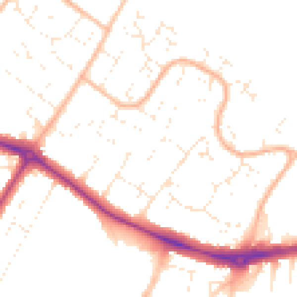
Daytime· 07:00 – 23:00
49.9dB

Night-time· 23:00 – 07:00
39.8dB