10 Bramshaw Gardens, Bournemouth, BH8 0BS
About 10 Bramshaw Gardens
10 Bramshaw Gardens is a mid-terrace house in Bournemouth (BH8 0BS). It has a recorded floor area of 76 m² (around 818 sq ft), construction records dating it to 1983-1990 and council tax band C. The latest certificate (February 2024) shows a C (score 72). The recommended improvements would push it to B (score 87).
It hasn't traded since March 1999, a hold of 27 years that's notably long for the area. Across 1996–1999, sale prices on this property compounded at 15.2% per year. Today's modelled estimate of £300,000 sits 308.2% above the 1999 sale of £73,500. On a £-per-square-foot basis, the last sale (£90/sq ft) was about 59.8% below the postcode norm.
Everything you need to know about 10 Bramshaw Gardens
The true value, the hidden risks and the full sale history, in one report.
Pick your report · every report is £14.99
One time fee only - money back guarantee

The data behind every report


Energy performance
EPC Rating
Get a survey for this property
Level 2 HomeBuyer Report
We've checked 10 risk factors against the available data for this property and believe a Level 2 HomeBuyer Report could be a suitable option for you.
From £545 · Includes VAT
Planning history
10 Bramshaw Gardens has no planning applications on record.
A planning report still maps activity across the surrounding area and reads this property's extension & conversion potential.
Sales history & valuation
10 Bramshaw Gardens's modelled value sits at over four times its earliest registered sale price (1996).
£300,000
Modelled from EPC, postcode comparables and a sale-price growth of 15.2% per year over 2 years.
£73,500
Growth on file: 15.2% per year over 2 years.
Sales timeline
25 March 1999Most recent
£73,500
+38.7%over 2 years29 November 1996
£53,000
Median price across the last 5 sales in BH8 0BS: £277,000 (2024–2019).
Nearby sales in BH8 0BS
32 Bramshaw Gardens, Bournemouth, BH8 0BS
Sold Aug 2024
£330,00020 Bramshaw Gardens, Bournemouth, BH8 0BS
Sold Sept 2023
£277,00024 Bramshaw Gardens, Bournemouth, BH8 0BS
Sold Aug 2022
£310,00018 Bramshaw Gardens, Bournemouth, BH8 0BS
Sold Jun 2021
£230,00016 Bramshaw Gardens, Bournemouth, BH8 0BS
Sold Mar 2016
£205,000
Versus other Bramshaw Gardens homes
On price per m², 10 Bramshaw Gardens runs well behind the street norm.
Price per m²
£967
Street avg £3,270
Floor Area
76 m²
Street avg 75 m²
Habitable Rooms
3 rooms
Street avg 4 rooms
CO₂ Emissions
2.4 t/year
Street avg 2.6 t/year
Everything you need to know about 10 Bramshaw Gardens
The true value, the hidden risks and the full sale history, in one report.
Pick your report · every report is £14.99
One time fee only - money back guarantee
The data behind every report
Similar properties nearby
The neighbourhood at a glance
Daytime road noise here sits well below conversation level — a quiet pocket of the postcode.
Crime
14/mo
Steady year-on-year across the wider district.
Nearest stop
0.1 km
Setley Gardens — bus stop.
Closest school
0.6 km
Bournemouth School for Girls. 20 schools nearby.
Go deeper on the local area
A Local Area report breaks down crime, transport links, schools and air quality in depth.
Road noise across the postcode
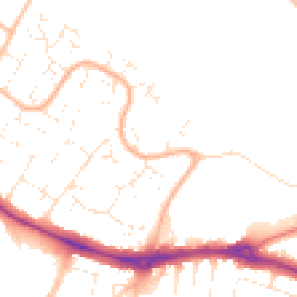
Daytime· 07:00 – 23:00
49.1dB

Night-time· 23:00 – 07:00
39.5dB