79 Wimborne Road West, Wimborne, BH21 2DH
About 79 Wimborne Road West
79 Wimborne Road West is a three-bedroom detached house in Wimborne (BH21 2DH). It has a recorded floor area of 95 m² (around 1023 sq ft), construction records dating it to 1930-1949 and council tax band D. The latest certificate (September 2017) shows a D (score 66), on the cusp of jumping into the C band. The recommended improvements would push it to C (score 80). Other recorded features include outbuildings.
It hasn't traded since July 2002, a hold of 24 years that's notably long for the area. Across 2000–2002, sale prices on this property compounded at 17.1% per year. Today's modelled estimate of £462,000 sits 149.8% above the 2002 sale of £184,950. On a £-per-square-foot basis, the last sale (£181/sq ft) was about 20.4% below the postcode norm.
Know exactly what you're buying at 79 Wimborne Road West
Before you offer, see what the listing won't tell you, the true value, the red flags and the full history.
Already flagged here
Valuation
against the asking price
Risks
planning & flood
Sold prices
similar homes nearby
Trends
the local market
What this property has
Inside
- Bedrooms3
- Bathrooms2
- Dining roomYes
- EnsuiteYes
Outside
- Private gardenYes
- GarageDetached
- OutbuildingsYes
Energy performance
EPC Rating
Planning history
79 Wimborne Road West has no planning applications on record.
Notable planning nearby
7applications of note in the surrounding area
We flagged 1 thing worth checking at 79 Wimborne Road West
Independent checks surfaced things a buyer would want to understand before offering. The report explains each one in full, with the underlying data and what to ask.
- Larger development activity nearby
30-day money-back guarantee
Sales history & valuation
79 Wimborne Road West's estimated value is more than triple its earliest registered sale price (2000).
£462,000
Modelled from EPC, postcode comparables and a sale-price growth of 17.1% per year over 2 years.
£184,950
Growth on file: 17.1% per year over 2 years.
Sales timeline
18 July 2002Most recent
£184,950
+48.0%over 2 years24 January 2000
£125,000
Median price across the last 5 sales in BH21 2DH: £362,000 (2025–2020).
Nearby sales in BH21 2DH
87 Wimborne Road West, Wimborne, BH21 2DH
Sold Aug 2025
£362,000109 Wimborne Road West, Wimborne, BH21 2DH
Sold Feb 2025
£480,00099 Wimborne Road West, Wimborne, BH21 2DH
Sold Jun 2022
£490,000111 Wimborne Road West, Wimborne, BH21 2DH
Sold Sept 2020
£320,000107 Wimborne Road West, Wimborne, BH21 2DH
Sold Aug 2020
£280,000
Everything we know about 79 Wimborne Road West, in one report
What it's really worth, what could be wrong, and the planning, sales and area data in full.
What we flagged
- Larger development activity nearby

Versus other Wimborne Road West homes
Price per m² for 79 Wimborne Road West lags the street by a wide margin.
Price per m²
£1,947
Street avg £3,539
Floor Area
95 m²
Street avg 102 m²
Habitable Rooms
4 rooms
Street avg 5 rooms
CO₂ Emissions
3.7 t/year
Street avg 4.7 t/year
Similar properties nearby
1 Burden Close
BH21 2FX
1 Beaucroft Road
BH21 2QW
1 Colt Close
BH21 2TY
1 Beaucroft Lane
BH21 2PF
1 Augustin Drive
BH21 2FQ
1 Colborne Avenue
BH21 2PZ
1 Allen View, Giddy Lake
BH21 2QU
1 Barnes Crescent
BH21 2AY
The neighbourhood at a glance
Crime
2/mo
Steady year-on-year across the wider district.
Nearest stop
0.1 km
Stapehill Crescent — bus stop.
Closest school
0.7 km
Hayeswood First School. 7 schools nearby.
Go deeper on the local area
The full report breaks down crime, transport links, schools and air quality in depth.
Road noise across the postcode
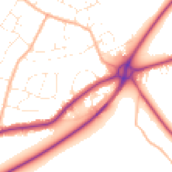
Daytime· 07:00 – 23:00
53.0dB

Night-time· 23:00 – 07:00
44.1dB