1a, Flat 4, Moor View Road, Poole, BH15 3LS
About 1a
1a is a property in Poole (BH15 3LS).
Untraded for 17 years, with the last transfer in May 2009. That sale fell during the post-crash dip, which often skews comparisons against later neighbouring sales.
Know exactly what you're buying at 1a
Before you offer, see what the listing won't tell you, the true value, the red flags and the full history.
Already flagged here
Valuation
against the asking price
Risks
planning & flood
Sold prices
similar homes nearby
Trends
the local market
Energy performance
No EPC on record
This property doesn't have an Energy Performance Certificate yet. An EPC is required to sell or let — and unlocks our automated valuation.
Planning history
1a has no planning applications on record.
Notable planning nearby
10applications of note in the surrounding area
We flagged 2 things worth checking at 1a
Independent checks surfaced things a buyer would want to understand before offering. The report explains each one in full, with the underlying data and what to ask.
- Signs of HMO activity in the area
- Larger development activity nearby
30-day money-back guarantee
Sales history & valuation
The latest sale fell during the post-2008 dip, often a low-water mark in price comparisons.
£93,500
Recorded with HM Land Registry.
Sales timeline
27 May 2009Most recent
£93,500
Median price across the last 5 sales in BH15 3LS: £242,000 (2024–2023).
Nearby sales in BH15 3LS
Everything we know about 1a, in one report
What it's really worth, what could be wrong, and the planning, sales and area data in full.
What we flagged
- Signs of HMO activity in the area
- Larger development activity nearby

Similar properties nearby
46 48, Flat 1, Oakdale Road
BH15 3LY
46 48, Flat 14, Oakdale Road
BH15 3LY
46 48, Flat 9, Oakdale Road
BH15 3LY
46 48, Flat 13, Oakdale Road
BH15 3LY
1a, Flat 3, Moor View Road
BH15 3LS
Aster Court, Flat 8, 10 Daisy Close
BH15 3BX
46 48, Flat 8, Oakdale Road
BH15 3LY
46 48, Flat 3, Oakdale Road
BH15 3LY
The neighbourhood at a glance
Crime
6/mo
Steady year-on-year across the wider district.
Nearest stop
0.1 km
Greenfield Road — bus stop.
Closest school
0.5 km
Canford Heath Infant School. 24 schools nearby.
Go deeper on the local area
The full report breaks down crime, transport links, schools and air quality in depth.
Road noise across the postcode
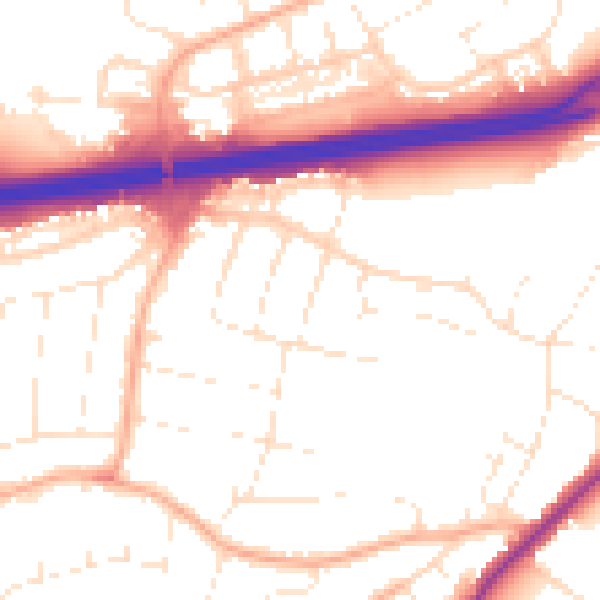
Daytime· 07:00 – 23:00
53.5dB

Night-time· 23:00 – 07:00
44.5dB