Flat H, 16 Harland Close, Bradford, BD2 4BW
About Flat H
Flat H is a semi-detached house in Bradford (BD2 4BW). It has a recorded floor area of 24 m² (around 258 sq ft), construction records dating it to 1967-1975 and council tax band A. The latest certificate (October 2022) shows a C (score 70). The rating has held steady at C across 2 certificates since February 2010. Between certificates, roof efficiency went from Average to Very Good and lighting went from Very Poor to Very Good; while wall efficiency dropped from Good to Average. Main heating runs on electricity.
At 24 m² it sits well below the postcode median (51 m² across 19 EPCs), making it one of the more compact homes locally.
Everything you need to know about Flat H
The true value, the hidden risks and the full sale history, in one report.
Pick your report · every report is £14.99
One time fee only - money back guarantee

The data behind every report


Energy performance
EPC Rating
Property Improvements
Changes detected from historical EPC data
Loft insulation upgraded to recommended levels
More low energy lighting installed
Get a survey for this property
Level 3 Building Survey
Because the property has no mains gas supply, we believe a Level 3 building survey should be considered.
From £820 · Includes VAT
Planning history
Flat H has no planning applications on record.
But the area is active
2 notable applications nearby — larger schemes and conversions that could reshape the street. The report maps them all.
Sales history & valuation
Flat H has no Land Registry sales on file, suggesting it has stayed in the same hands since registration began.
£119,000
Modelled from EPC, postcode comparables.
No sales recorded with HM Land Registry
That can mean the property has never traded since the registry began publishing in 1995, was a new build that hasn't been registered yet, or is held in the same hands long-term.
Median price across the last 5 sales in BD2 4BW: £120,000 (2024–2013).
Versus other Harland Close homes
EPC Rating
70 (C)
Street avg 66 (D)
Floor Area
24 m²
Street avg 27 m²
CO₂ Emissions
2.3 t/year
Street avg 2.3 t/year
Habitable Rooms
1 rooms
Street avg 1 rooms
Everything you need to know about Flat H
The true value, the hidden risks and the full sale history, in one report.
Pick your report · every report is £14.99
One time fee only - money back guarantee
The data behind every report
Similar properties nearby
Flat, 1041 Bolton Road
BD2 4LN
Flat 1, 1131 Bolton Road
BD2 4SP
Ashton House, Flat 1, 18 Pollard Lane
BD2 4RL
Ashton House, Flat 4, 18 Pollard Lane
BD2 4RL
Flat 2, 11 Idle Road
BD2 4QA
Ashton House, Flat 5, 18 Pollard Lane
BD2 4RL
Flat 2, 1 Westfield Crescent
BD2 4RH
Ashton House, Flat 2, 18 Pollard Lane
BD2 4RL
The neighbourhood at a glance
Crime
3/mo
Steady year-on-year across the wider district.
Nearest stop
0.1 km
Harland Close — bus stop.
Closest school
0.7 km
Feversham Girls' Secondary Academy. 61 schools nearby.
Go deeper on the local area
A Local Area report breaks down crime, transport links, schools and air quality in depth.
Road noise across the postcode
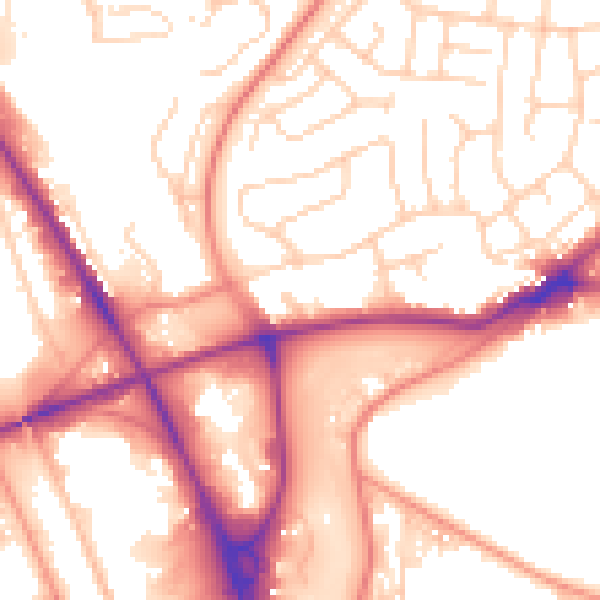
Daytime· 07:00 – 23:00
55.0dB

Night-time· 23:00 – 07:00
45.4dB