9 Wyndham Avenue, Bradford, BD2 1EJ
About 9 Wyndham Avenue
9 Wyndham Avenue is a semi-detached house in Bradford (BD2 1EJ). It has a recorded floor area of 90 m² (around 969 sq ft), construction records dating it to 1967-1975 and council tax band C. The latest certificate (July 2023) shows a C (score 71). The recommended improvements would push it to B (score 82).
It hasn't traded since November 2006, a hold of 20 years that's notably long for the area. 2 planning records sit against the property, 2 approved, 0 refused. Past consents include an extension, meaningful when judging how the property has evolved. Its energy rating outperforms most of the postcode (better than 73% of similar EPCs). Today's modelled estimate of £207,000 is 42.8% above the 2006 sale price.
Everything you need to know about 9 Wyndham Avenue
The true value, the hidden risks and the full sale history, in one report.
Pick your report · every report is £14.99
One time fee only - money back guarantee

The data behind every report


Energy performance
EPC Rating
Get a survey for this property
Level 2 HomeBuyer Report
We've checked 10 risk factors against the available data for this property and believe a Level 2 HomeBuyer Report could be a suitable option for you.
From £545 · Includes VAT
Planning history
9 Wyndham Avenue has been extended on multiple sides of the property across separate planning applications.
2 applications on record at 9 Wyndham Avenue, Bradford, BD2 1EJ
- Feb 2009ExtensionFullOutcome in report
Extension: Two storey · Side and rear of property
Construction of two storey extension to side and rear
- Documents
- 7 docs on file
- Reference
- 08/07405/FUL
- More recent applications — locked
- ExtensionFeb 2021Decision
Unlock 9 Wyndham Avenue, Bradford, BD2 1EJ's full planning history
You're seeing the shape of it. The report has the substance.
- Every decision — granted, refused or withdrawn (2 on record)
- All 2 applications on this property in full, plus 1 notable nearby
- The 14 documents, officer reports & conditions
- What the pattern means for extending or converting here
One time fee only - money back guarantee
Sales history & valuation
9 Wyndham Avenue valuation sits well clear of the typical sold price in this postcode.
£207,000
Modelled from EPC, postcode comparables.
£145,000
Recorded with HM Land Registry.
Sales timeline
20 November 2006Most recent
£145,000
Median price across the last 5 sales in BD2 1EJ: £140,000 (2024–2018).
Nearby sales in BD2 1EJ
Versus other Wyndham Avenue homes
EPC Rating for 9 Wyndham Avenue runs comfortably ahead of the street norm.
Price per m²
£1,611
Street avg £1,365
Floor Area
90 m²
Street avg 91 m²
Habitable Rooms
5 rooms
Street avg 5 rooms
CO₂ Emissions
3.4 t/year
Street avg 4.4 t/year
Everything you need to know about 9 Wyndham Avenue
The true value, the hidden risks and the full sale history, in one report.
Pick your report · every report is £14.99
One time fee only - money back guarantee
The data behind every report
Similar properties nearby
The neighbourhood at a glance
Crime
3/mo
Steady year-on-year across the wider district.
Nearest stop
0.2 km
Poplars Park Road — bus stop.
Closest school
0.4 km
Poplars Farm Primary School. 52 schools nearby.
Go deeper on the local area
A Local Area report breaks down crime, transport links, schools and air quality in depth.
Road noise across the postcode
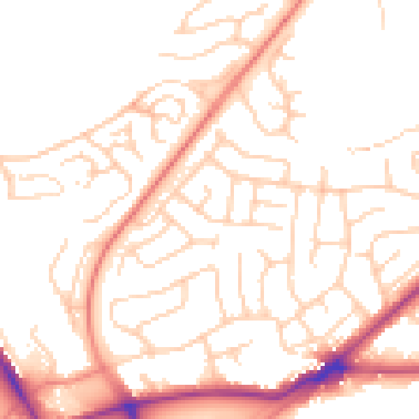
Daytime· 07:00 – 23:00
51.4dB

Night-time· 23:00 – 07:00
40.9dB