2 Perth Avenue, Bradford, BD2 1EE
About 2 Perth Avenue
2 Perth Avenue is a property in Bradford (BD2 1EE). It has council tax band D.
Held since November 2002 — that's 24 years off the open market, well above the local norm. 5 planning records sit against the property, 3 approved, 2 refused. Past consents include an extension and a conservatory, meaningful when judging how the property has evolved. Across 1995–2002, sale prices on this property compounded at 7.3% per year.
Everything you need to know about 2 Perth Avenue
The true value, the hidden risks and the full sale history, in one report.
Pick your report · every report is £14.99
One time fee only - money back guarantee

The data behind every report


Energy performance
No EPC on record
This property doesn't have an Energy Performance Certificate yet. An EPC is required to sell or let — and unlocks our automated valuation.
Get a survey for this property
Level 2 HomeBuyer Report
We've checked 10 risk factors against the available data for this property and believe a Level 2 HomeBuyer Report could be a suitable option for you.
Planning history
2 Perth Avenue has been extended on multiple sides of the property across separate planning applications.
5 applications on record at 2 Perth Avenue, Bradford, BD2 1EE
- Oct 2003ConservatoryFullOutcome in report
Extension: Rear of property
Construction of conservatory to rear of property
Extension- Documents
- 2 docs on file
- Reference
- 03/03399/FUL
- More recent applications — locked
- ExtensionJul 2010Decision
- ExtensionJun 2009Decision
+ 2 more applications in the report
Unlock 2 Perth Avenue, Bradford, BD2 1EE's full planning history
You're seeing the shape of it. The report has the substance.
- Every decision — granted, refused or withdrawn (5 on record)
- All 5 applications on this property in full, plus 1 notable nearby
- The 31 documents, officer reports & conditions
- What the pattern means for extending or converting here
One time fee only - money back guarantee
Sales history & valuation
£125,000
Growth on file: 7.3% per year over 7 years.
Sales timeline
26 November 2002Most recent
£125,000
+66.7%over 7 years13 August 1995
£75,000
Median price across the last 5 sales in BD2 1EE: £170,000 (2025–2019).
Everything you need to know about 2 Perth Avenue
The true value, the hidden risks and the full sale history, in one report.
Pick your report · every report is £14.99
One time fee only - money back guarantee
The data behind every report
Similar properties nearby
The neighbourhood at a glance
Crime
3/mo
Steady year-on-year across the wider district.
Nearest stop
0.1 km
Brisbane Avenue — bus stop.
Closest school
0.4 km
Poplars Farm Primary School. 54 schools nearby.
Go deeper on the local area
A Local Area report breaks down crime, transport links, schools and air quality in depth.
Road noise across the postcode
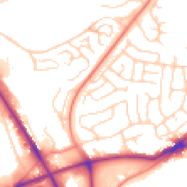
Daytime· 07:00 – 23:00
53.2dB

Night-time· 23:00 – 07:00
43.0dB