79 Kings Road, Bradford, BD2 1EA
About 79 Kings Road
79 Kings Road is an end-of-terrace house in Bradford (BD2 1EA). It has a recorded floor area of 67 m² (around 721 sq ft), construction records dating it to 1930-1949 and council tax band B. The latest certificate (June 2016) shows an E (score 50), well below the UK norm with real room to improve. The recommended improvements would lift it to C (score 77), a 2-band jump. The latest certificate is from June 2016, so improvements made since then won't be reflected.
It hasn't traded since September 2005, a hold of 21 years that's notably long for the area. Today's modelled estimate of £142,000 sits 65.2% above the 2005 sale of £85,950.
Everything you need to know about 79 Kings Road
The true value, the hidden risks and the full sale history, in one report.
Pick your report · every report is £14.99
One time fee only - money back guarantee

The data behind every report


Energy performance
Recommended upgrades on file would lift this property by multiple EPC bands.
EPC Expired
This certificate is over 10 years old and is no longer valid.Expired 12 Jun 2026
EPC Rating
Get a survey for this property
Level 2 HomeBuyer Report
We've checked 10 risk factors against the available data for this property and believe a Level 2 HomeBuyer Report could be a suitable option for you.
From £495 · Includes VAT
Planning history
79 Kings Road has no planning applications on record.
But the area is active
1 notable application nearby — larger schemes and conversions that could reshape the street. The report maps them all.
Sales history & valuation
79 Kings Road valuation sits well clear of the typical sold price in this postcode.
£142,000
Modelled from EPC, postcode comparables.
£85,950
Recorded with HM Land Registry.
Sales timeline
28 September 2005Most recent
£85,950
Median price across the last 5 sales in BD2 1EA: £113,000 (2024–2023).
Versus other Kings Road homes
On years held, 79 Kings Road stands well clear of the street.
Price per m²
£1,283
Street avg £1,287
Floor Area
67 m²
Street avg 74 m²
Habitable Rooms
5 rooms
Street avg 4 rooms
CO₂ Emissions
4.7 t/year
Street avg 4.6 t/year
Everything you need to know about 79 Kings Road
The true value, the hidden risks and the full sale history, in one report.
Pick your report · every report is £14.99
One time fee only - money back guarantee
The data behind every report
Similar properties nearby
The neighbourhood at a glance
Crime
3/mo
Steady year-on-year across the wider district.
Nearest stop
0.1 km
Brisbane Avenue — bus stop.
Closest school
0.5 km
Poplars Farm Primary School. 55 schools nearby.
Go deeper on the local area
A Local Area report breaks down crime, transport links, schools and air quality in depth.
Road noise across the postcode
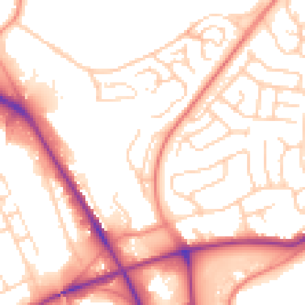
Daytime· 07:00 – 23:00
54.2dB

Night-time· 23:00 – 07:00
44.3dB