15 Abbey Fields, Whalley, Clitheroe, BB7 9RS
About 15 Abbey Fields
15 Abbey Fields is a property in Whalley, Clitheroe, Clitheroe (BB7 9RS). It has council tax band C.
It hasn't traded since November 2009, a hold of 17 years that's notably long for the area. That sale fell during the post-crash dip, which often skews comparisons against later neighbouring sales. One planning record on file: an extension approved in 2010. Past consents include an extension, meaningful when judging how the property has evolved. Across 1995–2009, sale prices on this property compounded at 8% per year.
Know exactly what you're buying at 15 Abbey Fields
Before you offer, see what the listing won't tell you, the true value, the red flags and the full history.
Already flagged here
Valuation
against the asking price
Risks
planning & flood
Sold prices
similar homes nearby
Trends
the local market
Energy performance
No EPC on record
This property doesn't have an Energy Performance Certificate yet. An EPC is required to sell or let — and unlocks our automated valuation.
Planning history
- Apr 2010ExtensionFullIn report
Extension: Single storey · Side and rear of property
Demolish existing garage. Build single storey side/rear extension.
- Documents
- 5 docs on file
- Reference
- 20623
We flagged 1 thing worth checking at 15 Abbey Fields
Independent checks surfaced things a buyer would want to understand before offering. The report explains each one in full, with the underlying data and what to ask.
- Larger development activity nearby
30-day money-back guarantee
Sales history & valuation
15 Abbey Fields has more than tripled in price since its earliest registered sale in 1995.
£174,000
Growth on file: 8.0% per year over 14 years.
Sales timeline
6 November 2009Most recent
£174,000
+205.3%over 14 years2 June 1995
£57,000
Median price across the last 5 sales in BB7 9RS: £356,650 (2025–2023).
Nearby sales in BB7 9RS
1 Abbey Fields, Whalley, Clitheroe, BB7 9RS
Sold Sept 2025
£342,300Chancers Leap, Abbey Fields, Whalley, Clitheroe, BB7 9RS
Sold May 2025
£625,00034 Abbey Fields, Whalley, Clitheroe, BB7 9RS
Sold Nov 2024
£445,00011 Abbey Fields, Whalley, Clitheroe, BB7 9RS
Sold Aug 2023
£295,00038 Abbey Fields, Whalley, Clitheroe, BB7 9RS
Sold Aug 2023
£356,650
Everything we know about 15 Abbey Fields, in one report
What it's really worth, what could be wrong, and the planning, sales and area data in full.
What we flagged
- Larger development activity nearby

Similar properties nearby
1 Ashburn Close, Barrow
BB7 9GX
1 Barrow Brook Close, Barrow
BB7 9UN
1 Avenue Road, Hurst Green
BB7 9QB
1 Bailey Cottages, Clitheroe Road, Mitton
BB7 9PL
1 Alder Drive, Whalley
BB7 9UU
1 Abbey Fields, Whalley
BB7 9RS
1 Aspen Crescent, Barrow
BB7 9ZL
1 Abbey Mews, King Street, Whalley
BB7 9SP
The neighbourhood at a glance
Rail-style transport is unusually close for this postcode.
Crime
1/mo
Steady year-on-year across the wider district.
Nearest stop
0.1 km
Railway Stn — bus stop.
Closest school
0.3 km
Whalley Church of England Primary School. 4 schools nearby.
Go deeper on the local area
The full report breaks down crime, transport links, schools and air quality in depth.
Road noise across the postcode
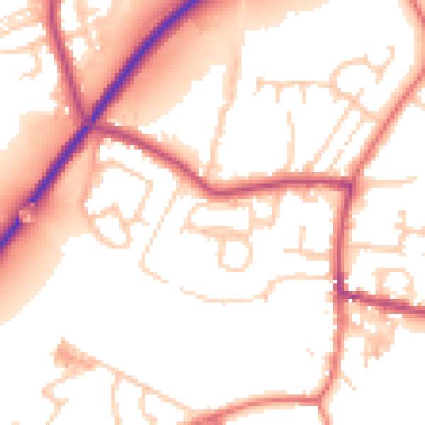
Daytime· 07:00 – 23:00
54.0dB
Night-time· 23:00 – 07:00
45.4dB