1 Abbey Fields, Whalley, Clitheroe, BB7 9RS
About 1 Abbey Fields
1 Abbey Fields is a two-bedroom semi-detached house in Whalley, Clitheroe, Clitheroe (BB7 9RS). It has a recorded floor area of 58 m² (around 624 sq ft), construction records dating it to 1967-1975 and council tax band C. The latest certificate (February 2025) shows a D (score 62), on the cusp of jumping into the C band. The rating has held steady at D across 2 certificates since March 2013. Between certificates, roof efficiency went from Good to Very Good and lighting went from Good to Very Good. The recommended improvements would lift it to B (score 83), a 2-band jump. Our model identifies extension potential, subject to local planning policy.
Most recent transfer was September 2025 at £342,300 — fresh data. Across 2005–2025, sale prices on this property compounded at 2.3% per year. On a £-per-square-foot basis, the last sale (£548/sq ft) was about 108.4% above the typical sold price in the postcode. At 58 m² it's 26.6% smaller than the typical home in the postcode (79 m² median across 34 EPCs).
Know exactly what you're buying at 1 Abbey Fields
Before you offer, see what the listing won't tell you, the true value, the red flags and the full history.
Already flagged here
Valuation
against the asking price
Risks
planning & flood
Sold prices
similar homes nearby
Trends
the local market
What this property has
Inside
- Bedrooms2
- Dining roomYes
- CloakroomYes
Building
- Extension potentialPossible
Energy performance
Recommended upgrades on file would lift this property by multiple EPC bands.
EPC Rating
Property Improvements
Changes detected from historical EPC data
Heating controls upgraded for better temperature management
Roof insulation improved
More low energy lighting installed
Planning history
1 Abbey Fields has no planning applications on record.
Notable planning nearby
2applications of note in the surrounding area
We flagged 1 thing worth checking at 1 Abbey Fields
Independent checks surfaced things a buyer would want to understand before offering. The report explains each one in full, with the underlying data and what to ask.
- Larger development activity nearby
30-day money-back guarantee
Sales history & valuation
1 Abbey Fields valuation sits well clear of the typical sold price in this postcode.
£322,000
Modelled from EPC, postcode comparables and a sale-price growth of 2.3% per year over 20 years.
£342,300
Growth on file: 2.3% per year over 20 years.
Sales timeline
10 September 2025Most recent
£342,300
+57.0%over 12 years16 May 2013
£218,000
+1.4%over 7 years18 August 2005
£215,000
Median price across the last 5 sales in BB7 9RS: £356,650 (2025–2022).
Nearby sales in BB7 9RS
Chancers Leap, Abbey Fields, Whalley, Clitheroe, BB7 9RS
Sold May 2025
£625,00034 Abbey Fields, Whalley, Clitheroe, BB7 9RS
Sold Nov 2024
£445,00011 Abbey Fields, Whalley, Clitheroe, BB7 9RS
Sold Aug 2023
£295,00038 Abbey Fields, Whalley, Clitheroe, BB7 9RS
Sold Aug 2023
£356,65029 Abbey Fields, Whalley, Clitheroe, BB7 9RS
Sold Dec 2022
£340,000
Everything we know about 1 Abbey Fields, in one report
What it's really worth, what could be wrong, and the planning, sales and area data in full.
What we flagged
- Larger development activity nearby

Versus other Abbey Fields homes
Price per m² for 1 Abbey Fields runs comfortably ahead of the street norm.
Price per m²
£5,902
Street avg £3,428
Floor Area
58 m²
Street avg 86 m²
Habitable Rooms
4 rooms
Street avg 4 rooms
CO₂ Emissions
3.3 t/year
Street avg 4.1 t/year
Similar properties nearby
1 Abbeycroft, The Sands, Whalley
BB7 9TN
1 Abbey View, Billington
BB7 9NS
1 Abbey Terrace, Barrow
BB7 9AT
1 Barley Close, Whalley
BB7 9XY
1 Bailey Cottages, Clitheroe Road, Mitton
BB7 9PL
1 Abbey Road, Whalley
BB7 9RP
1 Alder Prospect, Barrow
BB7 9ZP
1 Abbey Mews, King Street, Whalley
BB7 9SP
The neighbourhood at a glance
Rail-style transport is unusually close for this postcode.
Crime
1/mo
Steady year-on-year across the wider district.
Nearest stop
0.1 km
Railway Stn — bus stop.
Closest school
0.3 km
Whalley Church of England Primary School. 4 schools nearby.
Go deeper on the local area
The full report breaks down crime, transport links, schools and air quality in depth.
Road noise across the postcode
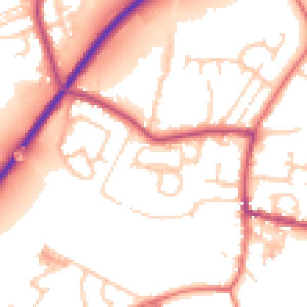
Daytime· 07:00 – 23:00
54.0dB

Night-time· 23:00 – 07:00
45.4dB