9 Fostergate, Cawood, Selby, YO8 3TA
About 9 Fostergate
9 Fostergate is a property in Cawood, Selby, Selby (YO8 3TA). It has council tax band F.
Energy performance
No EPC on record
This property doesn't have an Energy Performance Certificate yet. An EPC is required to sell or let — and unlocks our automated valuation.
Planning history
No planning applications are recorded against 9 Fostergate, Cawood, Selby, YO8 3TA. The full report also covers planning activity across the surrounding area.
Sales history & valuation
No sales recorded with HM Land Registry
That can mean the property has never traded since the registry began publishing in 1995, was a new build that hasn't been registered yet, or is held in the same hands long-term.
Median price across the last 5 sales in YO8 3TA: £130,000 (2016–1995).
Similar properties nearby
1 3, Flat, Rythergate, Cawood
YO8 3TP
1 3, Rythergate, Cawood
YO8 3TP
1 Abbotts Gardens, Cawood
YO8 3TF
1 Appleyard Cottages, Garmancarr Lane, Wistow
YO8 3UW
1 Back Micklegate
YO8 3GH
1 Bank Court, Coupland Road
YO8 3AU
1 Bishopdyke Road, Cawood
YO8 3ST
1 Bishops Close, Cawood
YO8 3SX
The neighbourhood at a glance
Daytime road noise here sits well below conversation level — a quiet pocket of the postcode.
Crime
3/mo
Steady year-on-year across the wider district.
Nearest stop
0.4 km
Castle — bus stop.
Closest school
0.4 km
Cawood Church of England Voluntary Aided Primary School. 2 schools nearby.
Road noise across the postcode
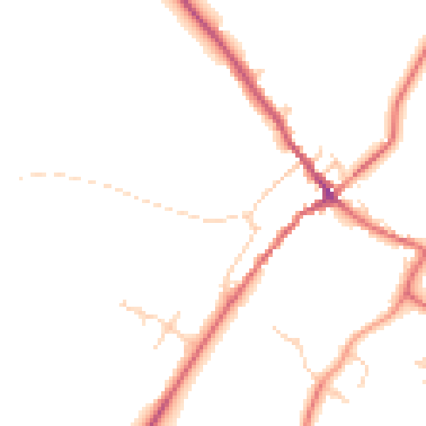
Daytime· 07:00 – 23:00
45.6dB

Night-time· 23:00 – 07:00
38.3dB