51 53, High Street, Bridlington, YO16 4PR
About 51 53
51 53 is a property in Bridlington (YO16 4PR). It has council tax band F.
5 planning records sit against the property, 3 approved, 0 refused. Past consents include change of use to residential, meaningful when judging how the property has evolved. Most recent transfer: May 2022 at £490,000. That sale was during the post-pandemic price surge, when transactions cleared materially above pre-2020 trend.
Know exactly what you're buying at 51 53
Before you offer, see what the listing won't tell you, the true value, the red flags and the full history.
Valuation
against the asking price
Risks
planning & flood
Sold prices
similar homes nearby
Trends
the local market
Energy performance
No EPC on record
This property doesn't have an Energy Performance Certificate yet. An EPC is required to sell or let — and unlocks our automated valuation.
Planning history
- Apr 2013Tree WorksTreesIn report
BRIDLINGTON OLD CONSERVATION AREA- Fell (T1) Acer tree due to significant lean which is causing risk to the property and sheds branches during the summer months due to the weight of the leaves
- Documents
- 5 docs on file
- Reference
- 13/00409/TCA
- Apr 2011HeritageIn report
Internal alterations in connection with change of existing annexe to bed and breakfast accommodation
- Documents
- 10 docs on file
- Reference
- 11/00202/PLB
What's in 51 53, High Street, Bridlington, YO16 4PR's planning history?
3 more on this property, plus refusals, disputes and full decisions nearby, in the report.
Sales history & valuation
Latest sale on 51 53 was the highest on Land Registry record across the postcode.
£490,000
Recorded with HM Land Registry.
Sales timeline
18 May 2022Most recent
£490,000
Median price across the last 5 sales in YO16 4PR: £175,000 (2020–2015).
Nearby sales in YO16 4PR
Everything we know about 51 53, in one report
What it's really worth, what could be wrong, and the planning, sales and area data in full.
- Am I paying too much?
- Is something wrong with it?
- Is the agent's story true?
- Will it hold its value?

Similar properties nearby
The neighbourhood at a glance
Reported crime in the wider district is trending notably upward year-on-year.
Crime
4/mo
Rising year-on-year across the wider district.
Nearest stop
0.2 km
Bridlington Westgate — bus stop.
Closest school
0.5 km
Burlington Junior School. 10 schools nearby.
Go deeper on the local area
The full report breaks down crime, transport links, schools and air quality in depth.
Road noise across the postcode
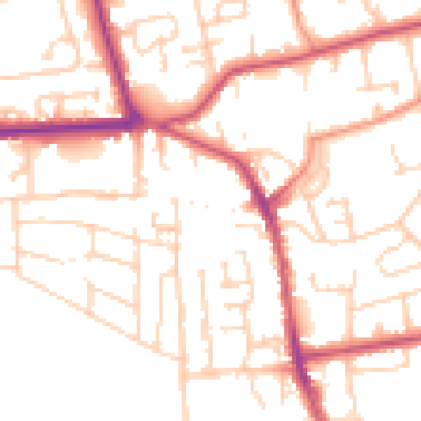
Daytime· 07:00 – 23:00
51.5dB

Night-time· 23:00 – 07:00
41.5dB