23 Navigation Road, York, YO1 9XG
About 23 Navigation Road
23 Navigation Road is an end-of-terrace house in York (YO1 9XG). It has a recorded floor area of 42 m² (around 452 sq ft), construction records dating it to 1976-1982 and council tax band A. At 42 m² this is the smallest unit on EPC record across the building (42–106 m²). The building's EPC ratings span D to B across 12 units on file. The latest certificate (May 2021) shows a C (score 70).
At 42 m² it sits well below the postcode median (61 m² across 11 EPCs), making it one of the more compact homes locally.
Everything you need to know about 23 Navigation Road
The true value, the hidden risks and the full sale history, in one report.
30-day money-back guarantee

The data behind every report


Energy performance
EPC Rating
Planning history
23 Navigation Road has no planning applications on record.
Notable planning nearby
7applications of note in the surrounding area
We flagged 2 things worth checking at 23 Navigation Road
Independent checks surfaced things a buyer would want to understand before offering. The report explains each one in full, with the underlying data and what to ask.
- Signs of HMO activity in the area
- Larger development activity nearby
30-day money-back guarantee
Sales history & valuation
23 Navigation Road has no Land Registry sales on file, suggesting it has stayed in the same hands since registration began.
£138,000
Modelled from EPC, postcode comparables.
No sales recorded with HM Land Registry
That can mean the property has never traded since the registry began publishing in 1995, was a new build that hasn't been registered yet, or is held in the same hands long-term.
Versus other Navigation Road homes
Floor Area for 23 Navigation Road lags the street by a wide margin.
EPC Rating
70 (C)
Street avg 75 (C)
Floor Area
42 m²
Street avg 60 m²
CO₂ Emissions
1.9 t/year
Street avg 1.9 t/year
Habitable Rooms
2 rooms
Street avg 2 rooms
Everything you need to know about 23 Navigation Road
The true value, the hidden risks and the full sale history, in one report.
30-day money-back guarantee
The data behind every report
Similar properties nearby
1 Leicester Way
YO1 9QG
1 Huby Court
YO1 9UD
1 Foundry House, Dixons Yard
YO1 9SU
1 Pecketts Loft, Lady Pecketts Yard
YO1 9US
1 George Street
YO1 9QA
1 Gibson House, Dixons Yard
YO1 9SG
1 Ancroft Close
YO1 9QF
1 Franklins Yard, Flat 1, Fossgate
YO1 9TN
The neighbourhood at a glance
Reported crime in the wider district is trending notably upward year-on-year.
Crime
5/mo
Rising year-on-year across the wider district.
Nearest stop
0.1 km
Huby Court — bus stop.
Closest school
0.5 km
Fishergate Primary School. 29 schools nearby.
Go deeper on the local area
The full report breaks down crime, transport links, schools and air quality in depth.
Road noise across the postcode
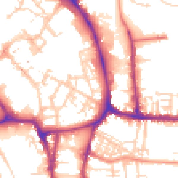
Daytime· 07:00 – 23:00
54.2dB

Night-time· 23:00 – 07:00
44.6dB