4 Pruden Avenue, Lanesfield, Wolverhampton, WV4 6PT
About 4 Pruden Avenue
4 Pruden Avenue is a two-bedroom semi-detached house in Lanesfield, Wolverhampton, Wolverhampton (WV4 6PT). It has a recorded floor area of 69 m² (around 743 sq ft), construction records dating it to 1930-1949 and council tax band B. The latest certificate (July 2024) shows a D (score 64), on the cusp of jumping into the C band. The recommended improvements would lift it to B (score 81), a 2-band jump. Other recorded features include a conservatory. Records show the property has been extended at some point in its history.
At 69 m² the property is well over the postcode median (48 m² across 35 EPCs), placing it in the larger end of the local stock. It changed hands recently, sold March 2025 for £224,950. On a £-per-square-foot basis, the last sale (£303/sq ft) was about 61.2% above the typical sold price in the postcode.
What this property has
Inside
- Bedrooms2
- Bathrooms1
- Dining roomYes
- ConservatoryYes
Outside
- Private gardenRear
- DrivewayYes
Building
- Heating systemGas
- Previously extendedYes
Everything you need to know about 4 Pruden Avenue
The true value, the hidden risks and the full sale history, in one report.
Pick your report · every report is £14.99
One time fee only - money back guarantee

The data behind every report


Energy performance
Recommended upgrades on file would lift this property by multiple EPC bands.
EPC Rating
Get a survey for this property
Level 3 Building Survey
Because the property has solid (non-cavity) walls, we believe a Level 3 building survey should be considered.
From £885 · Includes VAT
Planning history
4 Pruden Avenue has no planning applications on record.
A planning report still maps activity across the surrounding area and reads this property's extension & conversion potential.
Sales history & valuation
4 Pruden Avenue valuation sits well clear of the typical sold price in this postcode.
£227,000
Modelled from EPC, postcode comparables.
£224,950
Recorded with HM Land Registry.
Sales timeline
21 March 2025Most recent
£224,950
Median price across the last 5 sales in WV4 6PT: £160,000 (2025–2024).
Nearby sales in WV4 6PT
22 Pruden Avenue, Lanesfield, Wolverhampton, WV4 6PT
Sold Oct 2025
£199,00025 Pruden Avenue, Lanesfield, Wolverhampton, WV4 6PT
Sold Apr 2025
£160,0001 Pruden Avenue, Lanesfield, Wolverhampton, WV4 6PT
Sold Feb 2025
£153,37044 Pruden Avenue, Lanesfield, Wolverhampton, WV4 6PT
Sold Dec 2024
£135,00048 Pruden Avenue, Lanesfield, Wolverhampton, WV4 6PT
Sold Jan 2024
£160,000
Versus other Pruden Avenue homes
On floor area, 4 Pruden Avenue stands well clear of the street.
Price per m²
£3,260
Street avg £2,641
Floor Area
69 m²
Street avg 53 m²
Habitable Rooms
3 rooms
Street avg 3 rooms
CO₂ Emissions
3.4 t/year
Street avg 3.1 t/year
Everything you need to know about 4 Pruden Avenue
The true value, the hidden risks and the full sale history, in one report.
Pick your report · every report is £14.99
One time fee only - money back guarantee
The data behind every report
Similar properties nearby
1 Beaconsfield Drive
WV4 6AE
1 Fieldhouse Road
WV4 6SN
1 Beverley Crescent
WV4 6SZ
1 Ardgowan Grove
WV4 6DZ
1 Genge Avenue
WV4 6SL
1 Dresden Close
WV4 6DG
1 Crawford Avenue
WV4 6PL
1 Florence Avenue
WV4 6DB
The neighbourhood at a glance
Crime
6/mo
Steady year-on-year across the wider district.
Nearest stop
1.9 km
Coseley Rail Station — railway station.
Closest school
0.2 km
Hill Avenue Academy. 33 schools nearby.
Go deeper on the local area
A Local Area report breaks down crime, transport links, schools and air quality in depth.
Road noise across the postcode
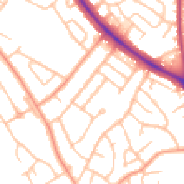
Daytime· 07:00 – 23:00
51.2dB

Night-time· 23:00 – 07:00
41.2dB