36 Mount Road, Lanesfield, Wolverhampton, WV4 6NE
About 36 Mount Road
36 Mount Road is a three-bedroom semi-detached house in Lanesfield, Wolverhampton, Wolverhampton (WV4 6NE). It has a recorded floor area of 113 m² (around 1216 sq ft), construction records dating it to 1930-1949 and council tax band B. The latest certificate (October 2015) shows a D (score 64), on the cusp of jumping into the C band. The recommended improvements would lift it to B (score 83), a 2-band jump. The latest certificate is from October 2015, so improvements made since then won't be reflected. Records show the property has been extended at some point in its history.
At 113 m² the property is well over the postcode median (85 m² across 45 EPCs), placing it in the larger end of the local stock. Today's modelled estimate of £283,000 sits 111.2% above the 2016 sale of £134,000. On a £-per-square-foot basis, the last sale (£110/sq ft) was about 16.2% below the postcode norm. 10 years since the last transfer (February 2016).
What this property has
Inside
- Bedrooms3
- Bathrooms1
- Open-plan layoutYes
- Dining roomYes
- Utility roomYes
- CloakroomYes
Outside
- Private gardenRear
- GarageYes
Building
- Central heatingYes
- Previously extendedYes
Everything you need to know about 36 Mount Road
The true value, the hidden risks and the full sale history, in one report.
Pick your report · every report is £14.99
One time fee only - money back guarantee

The data behind every report


Energy performance
Recommended upgrades on file would lift this property by multiple EPC bands.
EPC Expired
This certificate is over 10 years old and is no longer valid.Expired 12 Oct 2025
EPC Rating
Get a survey for this property
Level 3 Building Survey
Because the property has solid (non-cavity) walls, we believe a Level 3 building survey should be considered.
From £885 · Includes VAT
Planning history
36 Mount Road has no planning applications on record.
A planning report still maps activity across the surrounding area and reads this property's extension & conversion potential.
Sales history & valuation
36 Mount Road valuation sits well clear of the typical sold price in this postcode.
£283,000
Modelled from EPC, postcode comparables.
£134,000
Recorded with HM Land Registry.
Sales timeline
5 February 2016Most recent
£134,000
Median price across the last 5 sales in WV4 6NE: £202,000 (2025–2024).
Nearby sales in WV4 6NE
8 Mount Road, Lanesfield, Wolverhampton, WV4 6NE
Sold Jul 2025
£280,000134 Mount Road, Lanesfield, Wolverhampton, WV4 6NE
Sold Apr 2025
£202,00092 Mount Road, Lanesfield, Wolverhampton, WV4 6NE
Sold Mar 2025
£185,00030 Mount Road, Lanesfield, Wolverhampton, WV4 6NE
Sold Aug 2024
£143,50058 Mount Road, Lanesfield, Wolverhampton, WV4 6NE
Sold Jun 2024
£330,000
Versus other Mount Road homes
Floor Area for 36 Mount Road runs comfortably ahead of the street norm.
Price per m²
£1,186
Street avg £1,733
Floor Area
113 m²
Street avg 89 m²
Habitable Rooms
5 rooms
Street avg 5 rooms
CO₂ Emissions
5.1 t/year
Street avg 4.7 t/year
Everything you need to know about 36 Mount Road
The true value, the hidden risks and the full sale history, in one report.
Pick your report · every report is £14.99
One time fee only - money back guarantee
The data behind every report
Similar properties nearby
The neighbourhood at a glance
Crime
6/mo
Steady year-on-year across the wider district.
Nearest stop
1.7 km
Coseley Rail Station — railway station.
Closest school
0.2 km
Hill Avenue Academy. 29 schools nearby.
Go deeper on the local area
A Local Area report breaks down crime, transport links, schools and air quality in depth.
Road noise across the postcode
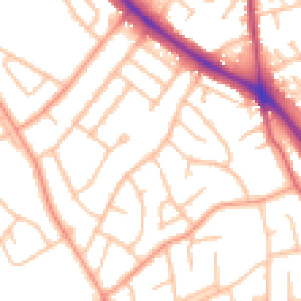
Daytime· 07:00 – 23:00
51.8dB

Night-time· 23:00 – 07:00
41.8dB