13 Mount Road, Lanesfield, Wolverhampton, WV4 6LS
About 13 Mount Road
13 Mount Road is a three-bedroom property in Lanesfield, Wolverhampton, Wolverhampton (WV4 6LS). It has council tax band B.
Held since October 2006 — that's 20 years off the open market, well above the local norm.
What this property has
Inside
- Bedrooms3
- Dining roomYes
Outside
- GarageYes
Building
- Heating systemGas
Everything you need to know about 13 Mount Road
The true value, the hidden risks and the full sale history, in one report.
Pick your report · every report is £14.99
One time fee only - money back guarantee

The data behind every report


Energy performance
No EPC on record
This property doesn't have an Energy Performance Certificate yet. An EPC is required to sell or let — and unlocks our automated valuation.
Get a survey for this property
Level 2 HomeBuyer Report
We've checked 10 risk factors against the available data for this property and believe a Level 2 HomeBuyer Report could be a suitable option for you.
Planning history
13 Mount Road has no planning applications on record.
A planning report still maps activity across the surrounding area and reads this property's extension & conversion potential.
Sales history & valuation
£142,950
Recorded with HM Land Registry.
Sales timeline
26 October 2006Most recent
£142,950
Median price across the last 5 sales in WV4 6LS: £191,000 (2023–2019).
Nearby sales in WV4 6LS
9 Mount Road, Lanesfield, Wolverhampton, WV4 6LS
Sold Dec 2023
£255,0003 Mount Road, Lanesfield, Wolverhampton, WV4 6LS
Sold Feb 2023
£215,00047 Mount Road, Lanesfield, Wolverhampton, WV4 6LS
Sold Jun 2022
£165,00041 Mount Road, Lanesfield, Wolverhampton, WV4 6LS
Sold Nov 2019
£155,00023 Mount Road, Lanesfield, Wolverhampton, WV4 6LS
Sold Jul 2017
£147,000
Everything you need to know about 13 Mount Road
The true value, the hidden risks and the full sale history, in one report.
Pick your report · every report is £14.99
One time fee only - money back guarantee
The data behind every report
Similar properties nearby
The neighbourhood at a glance
Crime
6/mo
Steady year-on-year across the wider district.
Nearest stop
1.7 km
Coseley Rail Station — railway station.
Closest school
0.1 km
Hill Avenue Academy. 32 schools nearby.
Go deeper on the local area
A Local Area report breaks down crime, transport links, schools and air quality in depth.
Road noise across the postcode
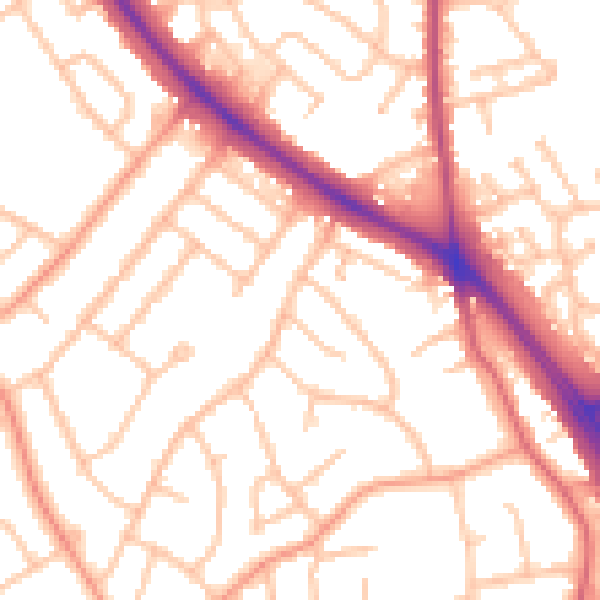
Daytime· 07:00 – 23:00
52.9dB

Night-time· 23:00 – 07:00
43.3dB