23 Ardgowan Grove, Wolverhampton, WV4 6DZ
About 23 Ardgowan Grove
23 Ardgowan Grove is an end-of-terrace house in Wolverhampton (WV4 6DZ). It has a recorded floor area of 43 m² (around 463 sq ft), construction records dating it to 2007 onwards and council tax band B. At 43 m² this is the smallest unit on EPC record across the building (43–122 m²). The building's EPC ratings span C to B, with this unit at the bottom. The latest certificate (March 2017) shows a C (score 78), near the top of the C band.
Untraded for 19 years, with the last transfer in October 2007. That sale landed at the peak of the pre-credit-crunch market, which is a useful reference point when interpreting the price. At 43 m² it sits well below the postcode median (67 m² across 34 EPCs), making it one of the more compact homes locally. Today's modelled estimate of £111,000 is 12.1% above the 2007 sale price. On a £-per-square-foot basis, the last sale (£214/sq ft) was about 40.8% above the typical sold price in the postcode.
Everything you need to know about 23 Ardgowan Grove
The true value, the hidden risks and the full sale history, in one report.
Pick your report · every report is £14.99
One time fee only - money back guarantee

The data behind every report


Energy performance
23 Ardgowan Grove's carbon output is low for the local stock.
EPC Rating
Get a survey for this property
Level 2 HomeBuyer Report
We've checked 10 risk factors against the available data for this property and believe a Level 2 HomeBuyer Report could be a suitable option for you.
From £495 · Includes VAT
Planning history
23 Ardgowan Grove has no planning applications on record.
A planning report still maps activity across the surrounding area and reads this property's extension & conversion potential.
Sales history & valuation
The latest sale landed at the peak of the pre-credit-crunch market — a high-water reference point.
£111,000
Modelled from EPC, postcode comparables.
£99,000
Recorded with HM Land Registry.
Sales timeline
25 October 2007Most recent
£99,000
Median price across the last 5 sales in WV4 6DZ: £118,000 (2025–2023).
Nearby sales in WV4 6DZ
18 Ardgowan Grove, Wolverhampton, WV4 6DZ
Sold Jul 2025
£115,00015 Ardgowan Grove, Wolverhampton, WV4 6DZ
Sold Feb 2025
£118,00010 Ardgowan Grove, Wolverhampton, WV4 6DZ
Sold Jun 2024
£120,0007 Ardgowan Grove, Wolverhampton, WV4 6DZ
Sold May 2023
£106,0001 Ardgowan Grove, Wolverhampton, WV4 6DZ
Sold Mar 2023
£120,000
Versus other Ardgowan Grove homes
23 Ardgowan Grove is notably below the street on floor area.
Price per m²
£2,302
Street avg £1,762
Floor Area
43 m²
Street avg 63 m²
Habitable Rooms
2 rooms
Street avg 3 rooms
CO₂ Emissions
1.1 t/year
Street avg 1.5 t/year
Everything you need to know about 23 Ardgowan Grove
The true value, the hidden risks and the full sale history, in one report.
Pick your report · every report is £14.99
One time fee only - money back guarantee
The data behind every report
Similar properties nearby
The neighbourhood at a glance
Crime
6/mo
Steady year-on-year across the wider district.
Nearest stop
1.2 km
Priestfield (West Midlands Metro) — subway entrance.
Closest school
0.2 km
Parkfield Primary School. 34 schools nearby.
Go deeper on the local area
A Local Area report breaks down crime, transport links, schools and air quality in depth.
Road noise across the postcode
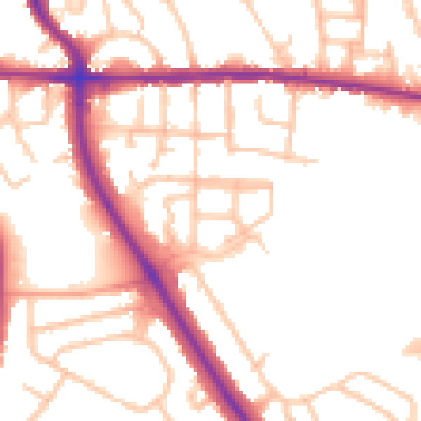
Daytime· 07:00 – 23:00
51.9dB
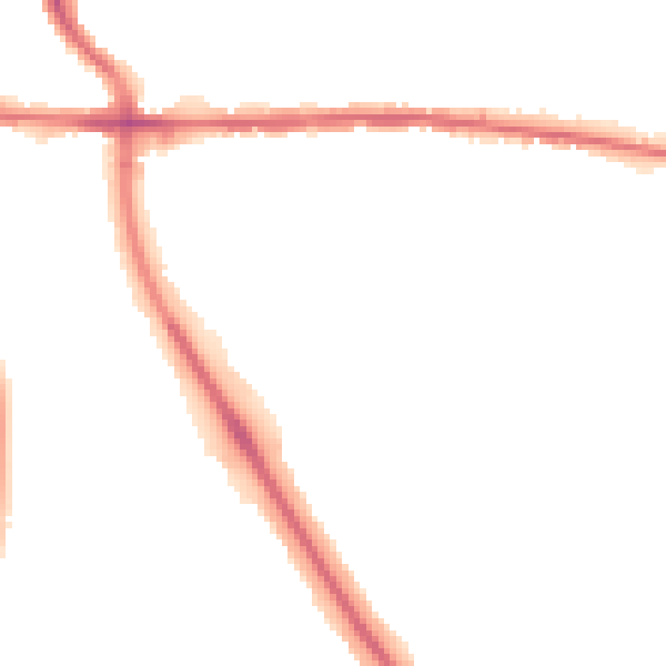
Night-time· 23:00 – 07:00
43.2dB