16 Ardgowan Grove, Wolverhampton, WV4 6DZ
About 16 Ardgowan Grove
16 Ardgowan Grove is a two-bedroom semi-detached house in Wolverhampton (WV4 6DZ). It has a recorded floor area of 57 m² (around 614 sq ft), construction records dating it to 1996-2002 and council tax band B. At 57 m² this is the 4th smallest of 35 units on EPC record in the building, where floor areas span 43–122 m². The building's EPC ratings span C to B, with this unit at the bottom. The latest certificate (June 2021) shows a C (score 77), near the top of the C band. The rating has held steady at C across 2 certificates since June 2011. Between certificates, window efficiency dropped from Good to Average.
Untraded for 19 years, with the last transfer in December 2006. On a £-per-square-foot basis, the last sale (£212/sq ft) was about 40.4% above the typical sold price in the postcode.
What this property has
Inside
- Bedrooms2
- Bathrooms1
Outside
- ParkingAllocated
Everything you need to know about 16 Ardgowan Grove
The true value, the hidden risks and the full sale history, in one report.
Pick your report · every report is £14.99
One time fee only - money back guarantee

The data behind every report


Energy performance
16 Ardgowan Grove's carbon output is low for the local stock.
EPC Rating
Get a survey for this property
Level 2 HomeBuyer Report
We've checked 10 risk factors against the available data for this property and believe a Level 2 HomeBuyer Report could be a suitable option for you.
From £495 · Includes VAT
Planning history
16 Ardgowan Grove has no planning applications on record.
A planning report still maps activity across the surrounding area and reads this property's extension & conversion potential.
Sales history & valuation
16 Ardgowan Grove changed hands twice within eighteen months — unusual for the area.
£117,000
Modelled from EPC, postcode comparables.
£129,950
Recorded with HM Land Registry.
Sales timeline
8 December 2006Most recent
£129,950
8 November 2006
£129,950
Median price across the last 5 sales in WV4 6DZ: £118,000 (2025–2023).
Nearby sales in WV4 6DZ
18 Ardgowan Grove, Wolverhampton, WV4 6DZ
Sold Jul 2025
£115,00015 Ardgowan Grove, Wolverhampton, WV4 6DZ
Sold Feb 2025
£118,00010 Ardgowan Grove, Wolverhampton, WV4 6DZ
Sold Jun 2024
£120,0007 Ardgowan Grove, Wolverhampton, WV4 6DZ
Sold May 2023
£106,0001 Ardgowan Grove, Wolverhampton, WV4 6DZ
Sold Mar 2023
£120,000
Versus other Ardgowan Grove homes
Years Held for 16 Ardgowan Grove runs comfortably ahead of the street norm.
Price per m²
£2,280
Street avg £1,763
Floor Area
57 m²
Street avg 62 m²
Habitable Rooms
3 rooms
Street avg 3 rooms
CO₂ Emissions
1.5 t/year
Street avg 1.5 t/year
Everything you need to know about 16 Ardgowan Grove
The true value, the hidden risks and the full sale history, in one report.
Pick your report · every report is £14.99
One time fee only - money back guarantee
The data behind every report
Similar properties nearby
The neighbourhood at a glance
Crime
6/mo
Steady year-on-year across the wider district.
Nearest stop
1.2 km
Priestfield (West Midlands Metro) — subway entrance.
Closest school
0.2 km
Parkfield Primary School. 34 schools nearby.
Go deeper on the local area
A Local Area report breaks down crime, transport links, schools and air quality in depth.
Road noise across the postcode
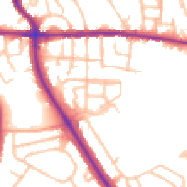
Daytime· 07:00 – 23:00
51.9dB
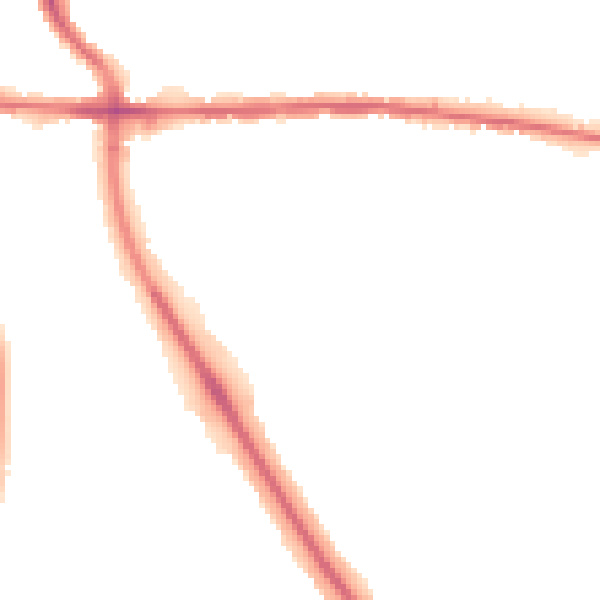
Night-time· 23:00 – 07:00
43.2dB