15 Dunoon Drive, Wolverhampton, WV4 6BS
About 15 Dunoon Drive
15 Dunoon Drive is a semi-detached house in Wolverhampton (WV4 6BS). It has a recorded floor area of 53 m² (around 570 sq ft), construction records dating it to 2007 onwards and council tax band B. At 53 m² this is the 5th smallest of 38 units on EPC record in the building, where floor areas span 51–149 m². The building's EPC ratings span D to B across 38 units on file. The latest certificate (May 2015) shows a C (score 77), near the top of the C band. The rating has held steady at C across 2 certificates since April 2015. The latest certificate is from May 2015, so improvements made since then won't be reflected.
Across 2020–2024, sale prices on this property compounded at 34.5% per year. On a £-per-square-foot basis, the last sale (£202/sq ft) was about 22.2% above the typical sold price in the postcode. At 53 m² it's 24.3% smaller than the typical home in the postcode (70 m² median across 37 EPCs). Sold February 2024 for £115,500.
Everything you need to know about 15 Dunoon Drive
The true value, the hidden risks and the full sale history, in one report.
Pick your report · every report is £14.99
One time fee only - money back guarantee

The data behind every report


Energy performance
15 Dunoon Drive's carbon output is low for the local stock.
EPC Expired
This certificate is over 10 years old and is no longer valid.Expired 19 May 2025
EPC Rating
Get a survey for this property
Level 2 HomeBuyer Report
We've checked 10 risk factors against the available data for this property and believe a Level 2 HomeBuyer Report could be a suitable option for you.
From £495 · Includes VAT
Planning history
15 Dunoon Drive has no planning applications on record.
A planning report still maps activity across the surrounding area and reads this property's extension & conversion potential.
Sales history & valuation
15 Dunoon Drive has more than doubled in price since the earliest registered sale in 2020.
£123,000
Modelled from EPC, postcode comparables and a sale-price growth of 34.5% per year over 3 years.
£115,500
Growth on file: 34.5% per year over 3 years.
Sales timeline
29 February 2024Most recent
£115,500
+156.7%over 3 years23 December 2020
£45,000
Median price across the last 5 sales in WV4 6BS: £132,000 (2025–2023).
Nearby sales in WV4 6BS
Versus other Dunoon Drive homes
On habitable rooms, 15 Dunoon Drive runs well behind the street norm.
Price per m²
£2,179
Street avg £1,825
Floor Area
53 m²
Street avg 68 m²
Habitable Rooms
2 rooms
Street avg 3 rooms
CO₂ Emissions
1.4 t/year
Street avg 1.6 t/year
Everything you need to know about 15 Dunoon Drive
The true value, the hidden risks and the full sale history, in one report.
Pick your report · every report is £14.99
One time fee only - money back guarantee
The data behind every report
Similar properties nearby
The neighbourhood at a glance
Crime
6/mo
Steady year-on-year across the wider district.
Nearest stop
1.3 km
Priestfield (West Midlands Metro) — subway entrance.
Closest school
0.2 km
Parkfield Primary School. 33 schools nearby.
Go deeper on the local area
A Local Area report breaks down crime, transport links, schools and air quality in depth.
Road noise across the postcode
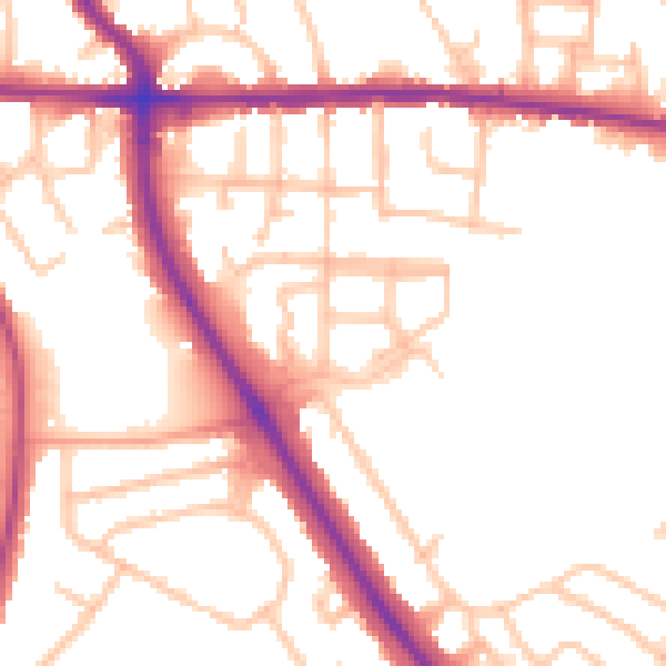
Daytime· 07:00 – 23:00
52.1dB

Night-time· 23:00 – 07:00
43.4dB