4 Foxhills Road, Wolverhampton, WV4 4SS
About 4 Foxhills Road
4 Foxhills Road is a semi-detached house in Wolverhampton (WV4 4SS). It has a recorded floor area of 109 m² (around 1174 sq ft), construction records dating it to 1930-1949 and council tax band C. The latest certificate (May 2011) shows an F (score 33), near the bottom of the EPC scale. Earlier certificates rated it E (April 2011); the latest reading is one band lower. Between certificates, roof efficiency dropped from Good to Poor and hot-water efficiency dropped from Average to Poor. The recommended improvements would push it to E (score 52). The latest certificate is from May 2011, so improvements made since then won't be reflected.
On energy efficiency it sits in the bottom 10% of properties in this postcode — significant headroom for improvement. One planning record on file: an extension approved in 2013. Past consents include an extension, meaningful when judging how the property has evolved.
Everything you need to know about 4 Foxhills Road
The true value, the hidden risks and the full sale history, in one report.
Pick your report · every report is £14.99
One time fee only - money back guarantee

The data behind every report


Energy performance
4 Foxhills Road sits at the bottom of the postcode for energy efficiency — meaningful headroom to improve.
EPC Expired
This certificate is over 10 years old and is no longer valid.Expired 15 May 2021
EPC Rating
Get a survey for this property
Level 3 Building Survey
Because the property has solid (non-cavity) walls, we believe a Level 3 building survey should be considered.
From £885 · Includes VAT
Planning history
4 Foxhills Road has an approved single-storey rear extension on the planning record.
1 application on record at 4 Foxhills Road, Wolverhampton, WV4 4SS
- Jun 2013ExtensionFullOutcome in report
Extension: Single storey · Rear of property
Single storey rear extension
- Documents
- 5 docs on file
- Reference
- 13/00290/FUL
Unlock 4 Foxhills Road, Wolverhampton, WV4 4SS's full planning history
You're seeing the shape of it. The report has the substance.
- Every decision — granted, refused or withdrawn (1 on record)
- All 1 application on this property in full, plus 3 notable nearby
- The 5 documents, officer reports & conditions
- What the pattern means for extending or converting here
One time fee only - money back guarantee
Sales history & valuation
4 Foxhills Road has no Land Registry sales on file, suggesting it has stayed in the same hands since registration began.
£249,000
Modelled from EPC, postcode comparables.
No sales recorded with HM Land Registry
That can mean the property has never traded since the registry began publishing in 1995, was a new build that hasn't been registered yet, or is held in the same hands long-term.
Median price across the last 5 sales in WV4 4SS: £282,000 (2025–2020).
Nearby sales in WV4 4SS
3 Foxhills Road, Wolverhampton, WV4 4SS
Sold Oct 2025
£307,50031 Foxhills Road, Wolverhampton, WV4 4SS
Sold Jan 2024
£235,00013 Foxhills Road, Wolverhampton, WV4 4SS
Sold Aug 2023
£302,00012 Foxhills Road, Wolverhampton, WV4 4SS
Sold Jul 2022
£282,00015 Foxhills Road, Wolverhampton, WV4 4SS
Sold Dec 2020
£187,000
Versus other Foxhills Road homes
4 Foxhills Road is notably below the street on epc rating.
EPC Rating
33 (F)
Street avg 57 (D)
Floor Area
109 m²
Street avg 97 m²
CO₂ Emissions
9.5 t/year
Street avg 5.3 t/year
Habitable Rooms
5 rooms
Street avg 5 rooms
Everything you need to know about 4 Foxhills Road
The true value, the hidden risks and the full sale history, in one report.
Pick your report · every report is £14.99
One time fee only - money back guarantee
The data behind every report
Similar properties nearby
The neighbourhood at a glance
Daytime road noise here sits well below conversation level — a quiet pocket of the postcode.
Crime
6/mo
Steady year-on-year across the wider district.
Nearest stop
1.0 km
Miller and Carter PH — bus stop.
Closest school
0.8 km
Springdale Primary School. 17 schools nearby.
Go deeper on the local area
A Local Area report breaks down crime, transport links, schools and air quality in depth.
Road noise across the postcode
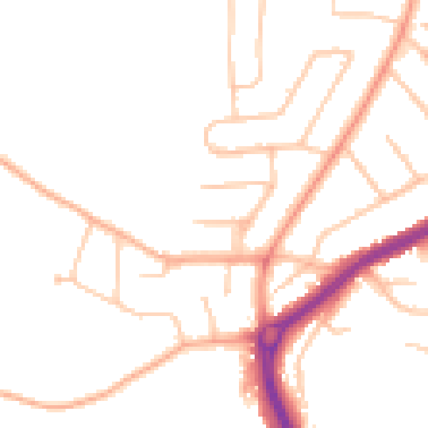
Daytime· 07:00 – 23:00
47.0dB

Night-time· 23:00 – 07:00
38.7dB