7 Boundary Way, Penn, Wolverhampton, WV4 4NZ
About 7 Boundary Way
7 Boundary Way is a semi-detached house in Penn, Wolverhampton, Wolverhampton (WV4 4NZ). It has a recorded floor area of 82 m² (around 883 sq ft), construction records dating it to 1950-1966 and council tax band B. The latest certificate (February 2014) shows a D (score 67), on the cusp of jumping into the C band. The recommended improvements would lift it to B (score 85), a 2-band jump. The latest certificate is from February 2014, so improvements made since then won't be reflected.
Across 2014–2016, sale prices on this property compounded at 4.9% per year. Today's modelled estimate of £201,000 sits 76.4% above the 2016 sale of £113,950. One planning record on file: an extension approved in 2024. Past consents include an extension, a garage conversion and a porch, meaningful when judging how the property has evolved. Last sold in March 2016, so it's been off the market for around 10 years.
Everything you need to know about 7 Boundary Way
The true value, the hidden risks and the full sale history, in one report.
Pick your report · every report is £14.99
One time fee only - money back guarantee

The data behind every report


Energy performance
Recommended upgrades on file would lift this property by multiple EPC bands.
EPC Expired
This certificate is over 10 years old and is no longer valid.Expired 21 Feb 2024
EPC Rating
Get a survey for this property
Level 2 HomeBuyer Report
We've checked 10 risk factors against the available data for this property and believe a Level 2 HomeBuyer Report could be a suitable option for you.
From £545 · Includes VAT
Planning history
1 application on record at 7 Boundary Way, Penn, Wolverhampton, WV4 4NZ
- Oct 2024Garage ConversionFullOutcome in report
Side extension (front and rear) to existing side garage with conversion to create downstairs living and bathroom facilities for the elderly. Also addition of a front porch.
ExtensionPorch- Documents
- 8 docs on file
- Reference
- 24/00956/FUL
Unlock 7 Boundary Way, Penn, Wolverhampton, WV4 4NZ's full planning history
You're seeing the shape of it. The report has the substance.
- Every decision — granted, refused or withdrawn (1 on record)
- All 1 application on this property in full, plus 3 notable nearby
- The 8 documents, officer reports & conditions
- What the pattern means for extending or converting here
One time fee only - money back guarantee
Sales history & valuation
7 Boundary Way valuation sits well clear of the typical sold price in this postcode.
£201,000
Modelled from EPC, postcode comparables and a sale-price growth of 4.9% per year over 2 years.
£113,950
Growth on file: 4.9% per year over 2 years.
Sales timeline
16 March 2016Most recent
£113,950
+9.6%over 1 year24 April 2014
£104,000
Median price across the last 5 sales in WV4 4NZ: £118,000 (2007–2000).
Nearby sales in WV4 4NZ
13 Boundary Way, Penn, Wolverhampton, WV4 4NZ
Sold Feb 2007
£125,0005 Boundary Way, Penn, Wolverhampton, WV4 4NZ
Sold Sept 2006
£120,50011 Boundary Way, Penn, Wolverhampton, WV4 4NZ
Sold May 2006
£118,0009 Boundary Way, Penn, Wolverhampton, WV4 4NZ
Sold Apr 2001
£56,0001 Boundary Way, Penn, Wolverhampton, WV4 4NZ
Sold Oct 2000
£66,000
Everything you need to know about 7 Boundary Way
The true value, the hidden risks and the full sale history, in one report.
Pick your report · every report is £14.99
One time fee only - money back guarantee
The data behind every report
Similar properties nearby
The neighbourhood at a glance
Daytime road noise here sits well below conversation level — a quiet pocket of the postcode.
Crime
6/mo
Steady year-on-year across the wider district.
Nearest stop
2.0 km
Miller and Carter PH — bus stop.
Closest school
0.1 km
Highfields School. 22 schools nearby.
Go deeper on the local area
A Local Area report breaks down crime, transport links, schools and air quality in depth.
Road noise across the postcode
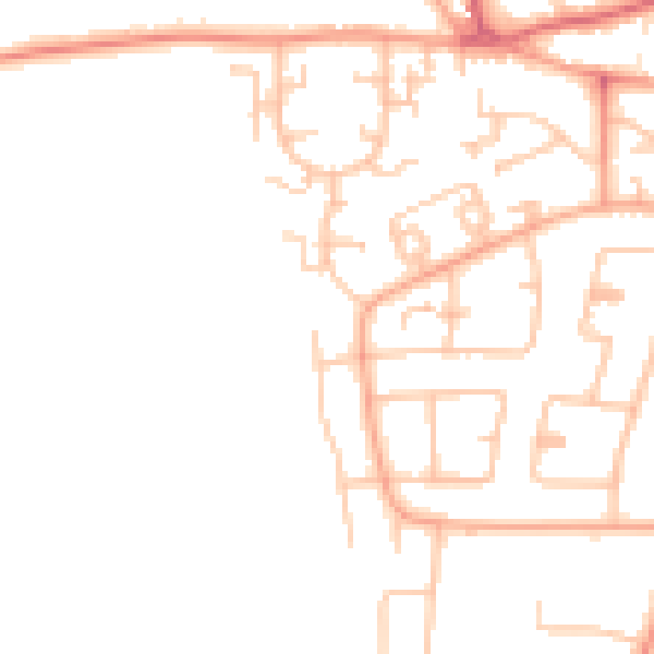
Daytime· 07:00 – 23:00
46.7dB

Night-time· 23:00 – 07:00
37.4dB