21 Enville Road, Wolverhampton, WV4 4NP
About 21 Enville Road
21 Enville Road is a three-bedroom semi-detached house in Wolverhampton (WV4 4NP). It has a recorded floor area of 84 m² (around 904 sq ft), construction records dating it to 1950-1966 and council tax band A. The latest certificate (October 2012) shows a D (score 60), on the cusp of jumping into the C band. The recommended improvements would lift it to B (score 81), a 2-band jump. The latest certificate is from October 2012, so improvements made since then won't be reflected.
Today's modelled estimate of £181,000 sits 90.5% above the 2013 sale of £95,000. Last sold in August 2013, so it's been off the market for around 13 years.
What this property has
Inside
- Bedrooms3
Everything you need to know about 21 Enville Road
The true value, the hidden risks and the full sale history, in one report.
Pick your report · every report is £14.99
One time fee only - money back guarantee

The data behind every report


Energy performance
Recommended upgrades on file would lift this property by multiple EPC bands.
EPC Expired
This certificate is over 10 years old and is no longer valid.Expired 02 Oct 2022
EPC Rating
Get a survey for this property
Level 2 HomeBuyer Report
We've checked 10 risk factors against the available data for this property and believe a Level 2 HomeBuyer Report could be a suitable option for you.
From £495 · Includes VAT
Planning history
21 Enville Road has no planning applications on record.
But the area is active
3 notable applications nearby — larger schemes and conversions that could reshape the street. The report maps them all.
Sales history & valuation
21 Enville Road valuation sits well clear of the typical sold price in this postcode.
£181,000
Modelled from EPC, postcode comparables.
£95,000
Recorded with HM Land Registry.
Sales timeline
15 August 2013Most recent
£95,000
Median price across the last 5 sales in WV4 4NP: £109,950 (2025–2005).
Nearby sales in WV4 4NP
Versus other Enville Road homes
21 Enville Road is notably below the street on habitable rooms.
Price per m²
£1,131
Street avg £1,293
Floor Area
84 m²
Street avg 91 m²
Habitable Rooms
4 rooms
Street avg 5 rooms
CO₂ Emissions
4.1 t/year
Street avg 3.5 t/year
Everything you need to know about 21 Enville Road
The true value, the hidden risks and the full sale history, in one report.
Pick your report · every report is £14.99
One time fee only - money back guarantee
The data behind every report
Similar properties nearby
1 Bassett Close
WV4 4YG
1 Arley Grove
WV4 4QX
1 Fancourt Avenue
WV4 4HY
1 Fairview Road, Penn
WV4 4TD
1 Ashley Road
WV4 4DP
1 Hamble Road
WV4 4QF
1 Buckley Road
WV4 4LJ
1 Grosvenor Park, Pennhouse Avenue
WV4 4BT
The neighbourhood at a glance
Daytime road noise here sits well below conversation level — a quiet pocket of the postcode.
Crime
6/mo
Steady year-on-year across the wider district.
Nearest stop
1.4 km
Miller and Carter PH — bus stop.
Closest school
0.4 km
Springdale Primary School. 18 schools nearby.
Go deeper on the local area
A Local Area report breaks down crime, transport links, schools and air quality in depth.
Road noise across the postcode
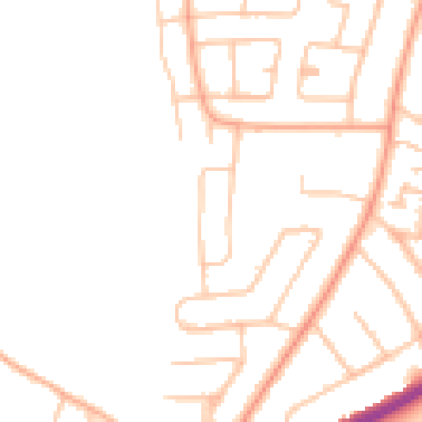
Daytime· 07:00 – 23:00
46.1dB

Night-time· 23:00 – 07:00
37.3dB