52 Woodfield Avenue, Wolverhampton, WV4 4AF
About 52 Woodfield Avenue
52 Woodfield Avenue is a one-bedroom semi-detached house in Wolverhampton (WV4 4AF). It has a recorded floor area of 49 m² (around 527 sq ft), construction records dating it to 1930-1949 and council tax band A. The latest certificate (March 2021) shows a D (score 66), on the cusp of jumping into the C band. When first surveyed in June 2011 the rating was E, the property has climbed 1 band since. Between certificates, main heating went from Average to Good; while wall efficiency dropped from Poor to Very Poor. The recommended improvements would push it to C (score 76). At 49 m² this is the 7th smallest of 28 units on EPC record in the building, where floor areas span 35–155 m². The building's EPC ratings span G to C across 28 units on file.
At 49 m² it sits well below the postcode median (103 m² across 27 EPCs), making it one of the more compact homes locally. 1 bedrooms is on the smaller side for this postcode, where 3 is the typical count. On a £-per-square-foot basis, the last sale (£455/sq ft) was about 237.4% above the typical sold price in the postcode. Most recent transfer: May 2022 at £240,000. That sale was during the post-pandemic price surge, when transactions cleared materially above pre-2020 trend.
What this property has
Inside
- Bedrooms1
- Bathrooms1
Everything you need to know about 52 Woodfield Avenue
The true value, the hidden risks and the full sale history, in one report.
Pick your report · every report is £14.99
One time fee only - money back guarantee

The data behind every report


Energy performance
EPC Rating
Property Improvements
Changes detected from historical EPC data
Replaced storage heaters with gas boiler
Connected to mains gas supply
Heating controls upgraded for better temperature management
Hot water system upgraded
Get a survey for this property
Level 3 Building Survey
Because the property has solid (non-cavity) walls, we believe a Level 3 building survey should be considered.
From £885 · Includes VAT
Planning history
52 Woodfield Avenue has no planning applications on record.
But the area is active
3 notable applications nearby — larger schemes and conversions that could reshape the street. The report maps them all.
Sales history & valuation
The latest sale landed in the post-pandemic price surge — useful context when reading the figure.
£256,000
Modelled from EPC, postcode comparables.
£240,000
Recorded with HM Land Registry.
Sales timeline
2 May 2022Most recent
£240,000
Median price across the last 5 sales in WV4 4AF: £280,000 (2025–2018).
Nearby sales in WV4 4AF
56 Woodfield Avenue, Wolverhampton, WV4 4AF
Sold Jun 2025
£270,00044 Woodfield Avenue, Wolverhampton, WV4 4AF
Sold May 2022
£280,00028 Woodfield Avenue, Wolverhampton, WV4 4AF
Sold Apr 2022
£320,00042 Woodfield Avenue, Wolverhampton, WV4 4AF
Sold Jul 2021
£285,00030 Woodfield Avenue, Wolverhampton, WV4 4AF
Sold Mar 2018
£173,000
Versus other Woodfield Avenue homes
Price per m² for 52 Woodfield Avenue runs comfortably ahead of the street norm.
Price per m²
£4,898
Street avg £2,236
Floor Area
49 m²
Street avg 46 m²
Habitable Rooms
3 rooms
Street avg 3 rooms
CO₂ Emissions
2.5 t/year
Street avg 2.8 t/year
Everything you need to know about 52 Woodfield Avenue
The true value, the hidden risks and the full sale history, in one report.
Pick your report · every report is £14.99
One time fee only - money back guarantee
The data behind every report
Similar properties nearby
The neighbourhood at a glance
Crime
6/mo
Steady year-on-year across the wider district.
Nearest stop
2.5 km
Miller and Carter PH — bus stop.
Closest school
0.1 km
Woodfield Primary School. 33 schools nearby.
Go deeper on the local area
A Local Area report breaks down crime, transport links, schools and air quality in depth.
Road noise across the postcode
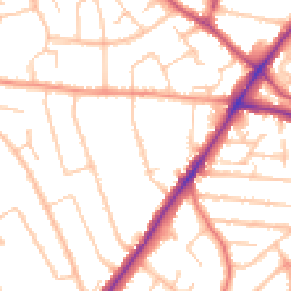
Daytime· 07:00 – 23:00
50.5dB

Night-time· 23:00 – 07:00
41.0dB