10 Higham Way, Wolverhampton, WV10 9YE
About 10 Higham Way
10 Higham Way is a semi-detached house in Wolverhampton (WV10 9YE). It has a recorded floor area of 49 m² (around 527 sq ft), construction records dating it to 1983-1990 and council tax band B. The latest certificate (July 2020) shows a C (score 69), just inside the C band. The recommended improvements would push it to B (score 88).
At 49 m² it sits well below the postcode median (71 m² across 17 EPCs), making it one of the more compact homes locally. Its energy rating outperforms most of the postcode (better than 71% of similar EPCs). Across 2001–2020, sale prices on this property compounded at 4.7% per year. Today's modelled estimate of £167,000 is 45.2% above the 2020 sale price. On a £-per-square-foot basis, the last sale (£218/sq ft) was about 74.6% above the typical sold price in the postcode. Most recent transfer: December 2020 at £115,000.
Everything you need to know about 10 Higham Way
The true value, the hidden risks and the full sale history, in one report.
Pick your report · every report is £14.99
One time fee only - money back guarantee

The data behind every report


Energy performance
EPC Rating
Get a survey for this property
Level 2 HomeBuyer Report
We've checked 10 risk factors against the available data for this property and believe a Level 2 HomeBuyer Report could be a suitable option for you.
From £495 · Includes VAT
Planning history
10 Higham Way has no planning applications on record.
A planning report still maps activity across the surrounding area and reads this property's extension & conversion potential.
Sales history & valuation
10 Higham Way has more than doubled in price since the earliest registered sale in 2001.
£167,000
Modelled from EPC, postcode comparables and a sale-price growth of 4.7% per year over 19 years.
£115,000
Growth on file: 4.7% per year over 19 years.
Sales timeline
7 December 2020Most recent
£115,000
+31.4%over 16 years29 July 2004
£87,500
+80.4%over 2 years14 December 2001
£48,500
Median price across the last 5 sales in WV10 9YE: £160,000 (2024–2017).
Nearby sales in WV10 9YE
Versus other Higham Way homes
Floor Area for 10 Higham Way lags the street by a wide margin.
Price per m²
£2,347
Street avg £1,536
Floor Area
49 m²
Street avg 77 m²
Habitable Rooms
3 rooms
Street avg 5 rooms
CO₂ Emissions
2.2 t/year
Street avg 3.9 t/year
Everything you need to know about 10 Higham Way
The true value, the hidden risks and the full sale history, in one report.
Pick your report · every report is £14.99
One time fee only - money back guarantee
The data behind every report
Similar properties nearby
The neighbourhood at a glance
Crime
6/mo
Steady year-on-year across the wider district.
Nearest stop
1.7 km
Wolverhampton Rail Station — railway station.
Closest school
0.8 km
St Mary's Catholic Primary Academy. 39 schools nearby.
Go deeper on the local area
A Local Area report breaks down crime, transport links, schools and air quality in depth.
Road noise across the postcode
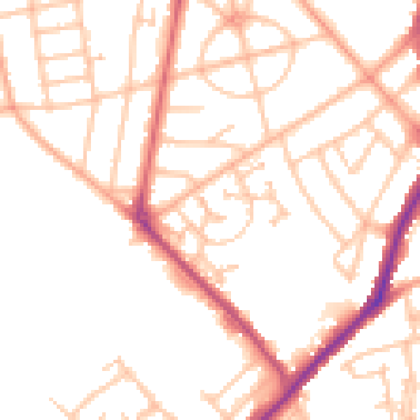
Daytime· 07:00 – 23:00
50.1dB
Night-time· 23:00 – 07:00
41.1dB