22 Hallam Crescent, Wolverhampton, WV10 9YA
About 22 Hallam Crescent
22 Hallam Crescent is a three-bedroom semi-detached house in Wolverhampton (WV10 9YA). It has a recorded floor area of 71 m² (around 764 sq ft), construction records dating it to 1983-1990 and council tax band C. The latest certificate (July 2012) shows a C (score 73). The recommended improvements would push it to B (score 89). The latest certificate is from July 2012, so improvements made since then won't be reflected.
Held since December 2006 — that's 20 years off the open market, well above the local norm. Across 2003–2006, sale prices on this property compounded at 11.7% per year. Today's modelled estimate of £200,000 sits 66.7% above the 2006 sale of £120,000. On a £-per-square-foot basis, the last sale (£157/sq ft) was about 72.6% above the typical sold price in the postcode. Its energy rating outperforms most of the postcode (better than 71% of similar EPCs).
What this property has
Inside
- Bedrooms3
Everything you need to know about 22 Hallam Crescent
The true value, the hidden risks and the full sale history, in one report.
Pick your report · every report is £14.99
One time fee only - money back guarantee

The data behind every report


Energy performance
22 Hallam Crescent's EPC is over a decade old — improvements since won't be reflected.
EPC Expired
This certificate is over 10 years old and is no longer valid.Expired 19 Jul 2022
EPC Rating
Get a survey for this property
Level 2 HomeBuyer Report
We've checked 10 risk factors against the available data for this property and believe a Level 2 HomeBuyer Report could be a suitable option for you.
From £495 · Includes VAT
Planning history
22 Hallam Crescent has no planning applications on record.
A planning report still maps activity across the surrounding area and reads this property's extension & conversion potential.
Sales history & valuation
22 Hallam Crescent valuation sits well clear of the typical sold price in this postcode.
£200,000
Modelled from EPC, postcode comparables and a sale-price growth of 11.7% per year over 3 years.
£120,000
Growth on file: 11.7% per year over 3 years.
Sales timeline
1 December 2006Most recent
£120,000
+41.2%over 3 years16 October 2003
£85,000
Median price across the last 5 sales in WV10 9YA: £200,000 (2025–2020).
Nearby sales in WV10 9YA
12 Hallam Crescent, Wolverhampton, WV10 9YA
Sold Mar 2025
£265,00015 Hallam Crescent, Wolverhampton, WV10 9YA
Sold Feb 2025
£200,0001 Hallam Crescent, Wolverhampton, WV10 9YA
Sold Nov 2020
£258,00062 Hallam Crescent, Wolverhampton, WV10 9YA
Sold Mar 2020
£117,00031 Hallam Crescent, Wolverhampton, WV10 9YA
Sold Jan 2020
£140,000
Versus other Hallam Crescent homes
On co₂ emissions, 22 Hallam Crescent stands well clear of the street.
Price per m²
£1,690
Street avg £1,470
Floor Area
71 m²
Street avg 83 m²
Habitable Rooms
4 rooms
Street avg 5 rooms
CO₂ Emissions
2.1 t/year
Street avg 4.4 t/year
Everything you need to know about 22 Hallam Crescent
The true value, the hidden risks and the full sale history, in one report.
Pick your report · every report is £14.99
One time fee only - money back guarantee
The data behind every report
Similar properties nearby
The neighbourhood at a glance
Crime
6/mo
Steady year-on-year across the wider district.
Nearest stop
1.7 km
Wolverhampton Rail Station — railway station.
Closest school
0.8 km
Trinity CofE Primary Academy. 38 schools nearby.
Go deeper on the local area
A Local Area report breaks down crime, transport links, schools and air quality in depth.
Road noise across the postcode
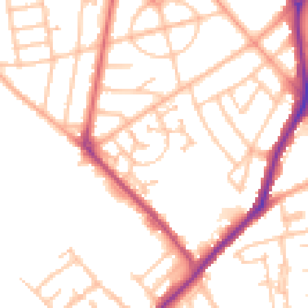
Daytime· 07:00 – 23:00
50.9dB

Night-time· 23:00 – 07:00
41.9dB