35 Guy Avenue, Wolverhampton, WV10 9SB
About 35 Guy Avenue
35 Guy Avenue is an end-of-terrace house in Wolverhampton (WV10 9SB). It has a recorded floor area of 154 m² (around 1658 sq ft), construction records dating it to 1930-1949 and council tax band A. The latest certificate (June 2024) shows a C (score 71). When first surveyed in June 2013 the rating was D, the property has climbed 1 band since. Between certificates, wall efficiency went from Poor to Average; while window efficiency dropped from Good to Average.
At 154 m² the property is well over the postcode median (84 m² across 41 EPCs), placing it in the larger end of the local stock. A recent sale: £239,200 in June 2025. On a £-per-square-foot basis, the last sale (£144/sq ft) was about 99.8% above the typical sold price in the postcode.
Everything you need to know about 35 Guy Avenue
The true value, the hidden risks and the full sale history, in one report.
Pick your report · every report is £14.99
One time fee only - money back guarantee

The data behind every report


Energy performance
EPC Rating
Property Improvements
Changes detected from historical EPC data
Cavity wall insulation installed
Get a survey for this property
Level 3 Building Survey
Because the property has been extended more than once, we believe a Level 3 building survey should be considered.
From £885 · Includes VAT
Planning history
35 Guy Avenue has no planning applications on record.
A planning report still maps activity across the surrounding area and reads this property's extension & conversion potential.
Sales history & valuation
Latest sale on 35 Guy Avenue was the highest on Land Registry record across the postcode.
£224,000
Modelled from EPC, postcode comparables.
£239,200
Recorded with HM Land Registry.
Sales timeline
19 June 2025Most recent
£239,200
Median price across the last 5 sales in WV10 9SB: £90,000 (2023–2007).
Nearby sales in WV10 9SB
Versus other Guy Avenue homes
Years Held for 35 Guy Avenue lags the street by a wide margin.
Price per m²
£1,553
Street avg £1,203
Floor Area
154 m²
Street avg 86 m²
Habitable Rooms
8 rooms
Street avg 5 rooms
CO₂ Emissions
5.2 t/year
Street avg 3.9 t/year
Everything you need to know about 35 Guy Avenue
The true value, the hidden risks and the full sale history, in one report.
Pick your report · every report is £14.99
One time fee only - money back guarantee
The data behind every report
Similar properties nearby
The neighbourhood at a glance
Daytime road noise here sits well below conversation level — a quiet pocket of the postcode.
Crime
6/mo
Steady year-on-year across the wider district.
Nearest stop
1.8 km
Wolverhampton Rail Station — railway station.
Closest school
0.8 km
Bushbury Lane Academy. 38 schools nearby.
Go deeper on the local area
A Local Area report breaks down crime, transport links, schools and air quality in depth.
Road noise across the postcode
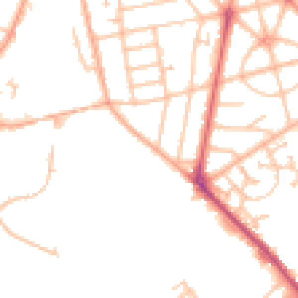
Daytime· 07:00 – 23:00
48.6dB

Night-time· 23:00 – 07:00
39.3dB