14 Foster Road, Wolverhampton, WV10 9NH
About 14 Foster Road
14 Foster Road is a three-bedroom mid-terrace house in Wolverhampton (WV10 9NH). It has a recorded floor area of 70 m² (around 753 sq ft), construction records dating it to 1950-1966 and council tax band A. The latest certificate (December 2020) shows a C (score 70). The recommended improvements would push it to B (score 87).
Today's modelled estimate of £164,000 is 49.1% above the 2021 sale price. On a £-per-square-foot basis, the last sale (£146/sq ft) was about 18.4% above the typical sold price in the postcode. Sold September 2021 for £110,000. That sale was during the post-pandemic price surge, when transactions cleared materially above pre-2020 trend.
What this property has
Inside
- Bedrooms3
- Bathrooms1
- Dining roomYes
Outside
- Private gardenYes
- ParkingOff road
Building
- Heating systemGas
Everything you need to know about 14 Foster Road
The true value, the hidden risks and the full sale history, in one report.
Pick your report · every report is £14.99
One time fee only - money back guarantee

The data behind every report


Energy performance
EPC Rating
Get a survey for this property
Level 2 HomeBuyer Report
We've checked 10 risk factors against the available data for this property and believe a Level 2 HomeBuyer Report could be a suitable option for you.
From £495 · Includes VAT
Planning history
14 Foster Road has no planning applications on record.
A planning report still maps activity across the surrounding area and reads this property's extension & conversion potential.
Sales history & valuation
The latest sale landed in the post-pandemic price surge — useful context when reading the figure.
£164,000
Modelled from EPC, postcode comparables.
£110,000
Recorded with HM Land Registry.
Sales timeline
9 September 2021Most recent
£110,000
Median price across the last 5 sales in WV10 9NH: £119,000 (2023–2010).
Nearby sales in WV10 9NH
Versus other Foster Road homes
On epc rating, 14 Foster Road stands well clear of the street.
Price per m²
£1,571
Street avg £1,558
Floor Area
70 m²
Street avg 65 m²
Habitable Rooms
4 rooms
Street avg 4 rooms
CO₂ Emissions
2.8 t/year
Street avg 2.8 t/year
Everything you need to know about 14 Foster Road
The true value, the hidden risks and the full sale history, in one report.
Pick your report · every report is £14.99
One time fee only - money back guarantee
The data behind every report
Similar properties nearby
The neighbourhood at a glance
Daytime road noise here sits well below conversation level — a quiet pocket of the postcode.
Crime
6/mo
Steady year-on-year across the wider district.
Nearest stop
2.1 km
Wolverhampton Rail Station — railway station.
Closest school
0.5 km
Whitgreave Primary School. 33 schools nearby.
Go deeper on the local area
A Local Area report breaks down crime, transport links, schools and air quality in depth.
Road noise across the postcode
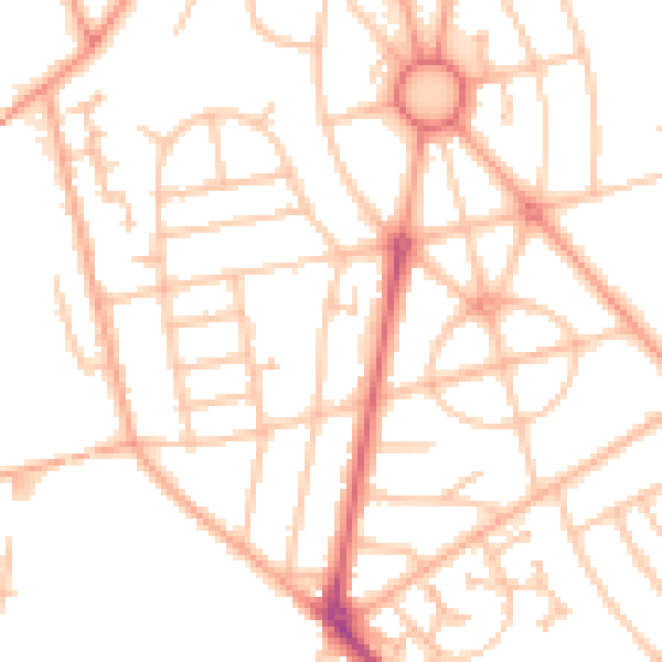
Daytime· 07:00 – 23:00
49.9dB

Night-time· 23:00 – 07:00
39.3dB