4 Crowther Street, Wolverhampton, WV10 9AG
About 4 Crowther Street
4 Crowther Street is a detached house in Wolverhampton (WV10 9AG). It has a recorded floor area of 116 m² (around 1249 sq ft), construction records dating it to 1900-1929 and council tax band A. The latest certificate (September 2025) shows a D (score 56), a step below the typical UK home. When first surveyed in July 2011 the rating was G, the property has climbed 3 bands since. Between certificates, wall efficiency went from Very Poor to Poor, window efficiency went from Poor to Average and hot-water efficiency went from Very Poor to Good; while roof efficiency dropped from Good to Very Poor. The recommended improvements would push it to C (score 73).
At 116 m² the property is well over the postcode median (75 m² across 49 EPCs), placing it in the larger end of the local stock. Across 2003–2022, sale prices on this property compounded at 2.1% per year. Today's modelled estimate of £182,000 sits 58.3% above the 2022 sale of £115,000. On a £-per-square-foot basis, the last sale (£92/sq ft) was about 18.5% above the typical sold price in the postcode. One planning record on file: subdivision approved in 2017. Past consents include subdivision and change of use to residential, meaningful when judging how the property has evolved. Sold November 2022 for £115,000. That sale was during the post-pandemic price surge, when transactions cleared materially above pre-2020 trend.
Everything you need to know about 4 Crowther Street
The true value, the hidden risks and the full sale history, in one report.
Pick your report · every report is £14.99
One time fee only - money back guarantee

The data behind every report


Energy performance
EPC Rating
Property Improvements
Changes detected from historical EPC data
Upgraded to gas central heating
Hot water system upgraded
Windows upgraded, improving insulation
Heating controls upgraded for better temperature management
Wall insulation improved
More low energy lighting installed
Get a survey for this property
Level 3 Building Survey
Because the property was built before 1919 and has solid (non-cavity) walls, we believe a Level 3 building survey should be considered.
From £820 · Includes VAT
Planning history
Council records show a subdivision application — the property's legal arrangement has been altered.
1 application on record at 4 Crowther Street, Wolverhampton, WV10 9AG
- May 2017SubdivisionFullOutcome in report
Change of use of an existing residential dwelling into two self contained flats
Change of Use- Documents
- 8 docs on file
- Reference
- 17/00361/FUL
Unlock 4 Crowther Street, Wolverhampton, WV10 9AG's full planning history
You're seeing the shape of it. The report has the substance.
- Every decision — granted, refused or withdrawn (1 on record)
- All 1 application on this property in full
- The 8 documents, officer reports & conditions
- What the pattern means for extending or converting here
One time fee only - money back guarantee
Sales history & valuation
The latest sale landed in the post-pandemic price surge — useful context when reading the figure.
£182,000
Modelled from EPC, postcode comparables and a sale-price growth of 2.1% per year over 19 years.
£115,000
Growth on file: 2.1% per year over 19 years.
Sales timeline
29 November 2022Most recent
£115,000
+134.7%over 13 years29 July 2009
£49,000
-36.4%over 5 years11 December 2003
£77,000
Median price across the last 5 sales in WV10 9AG: £128,000 (2025–2023).
Nearby sales in WV10 9AG
45 Crowther Street, Wolverhampton, WV10 9AG
Sold Feb 2025
£117,00039 Crowther Street, Wolverhampton, WV10 9AG
Sold Feb 2025
£145,0006 Crowther Street, Wolverhampton, WV10 9AG
Sold Sept 2023
£140,00036 Crowther Street, Wolverhampton, WV10 9AG
Sold Aug 2023
£128,00034 Crowther Street, Wolverhampton, WV10 9AG
Sold Jul 2023
£121,500
Versus other Crowther Street homes
4 Crowther Street outperforms the street on floor area by a wide margin.
Price per m²
£991
Street avg £1,035
Floor Area
116 m²
Street avg 78 m²
Habitable Rooms
5 rooms
Street avg 5 rooms
CO₂ Emissions
5.0 t/year
Street avg 3.9 t/year
Everything you need to know about 4 Crowther Street
The true value, the hidden risks and the full sale history, in one report.
Pick your report · every report is £14.99
One time fee only - money back guarantee
The data behind every report
Similar properties nearby
The neighbourhood at a glance
Crime
6/mo
Steady year-on-year across the wider district.
Nearest stop
1.1 km
Wolverhampton Rail Station — railway station.
Closest school
0.4 km
Woden Primary School. 42 schools nearby.
Go deeper on the local area
A Local Area report breaks down crime, transport links, schools and air quality in depth.
Road noise across the postcode
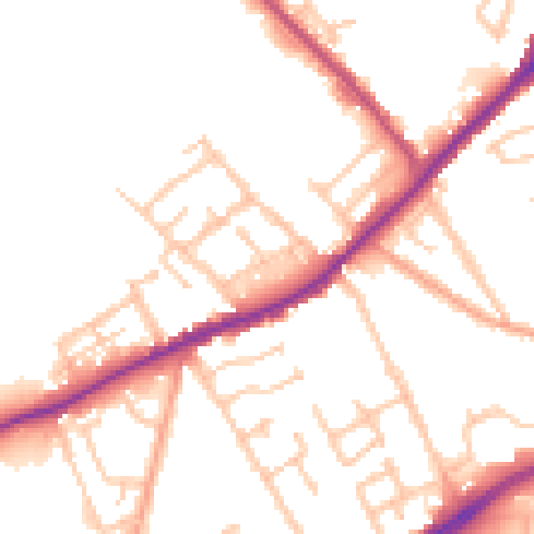
Daytime· 07:00 – 23:00
50.3dB

Night-time· 23:00 – 07:00
42.1dB