12 New Buildings, Stafford Road, Coven Heath, Wolverhampton, WV10 7HF
About 12 New Buildings
12 New Buildings is a property in Coven Heath, Wolverhampton, Wolverhampton (WV10 7HF). It has council tax band B.
Untraded for 26 years, with the last transfer in July 2000. Only one transfer is on record with HM Land Registry, suggesting it has stayed in the same hands for a long time.
Everything you need to know about 12 New Buildings
The true value, the hidden risks and the full sale history, in one report.
Pick your report · every report is £14.99
One time fee only - money back guarantee

The data behind every report


Energy performance
No EPC on record
This property doesn't have an Energy Performance Certificate yet. An EPC is required to sell or let — and unlocks our automated valuation.
Get a survey for this property
Level 2 HomeBuyer Report
We've checked 10 risk factors against the available data for this property and believe a Level 2 HomeBuyer Report could be a suitable option for you.
Planning history
12 New Buildings has no planning applications on record.
But the area is active
4 notable applications nearby — larger schemes and conversions that could reshape the street. The report maps them all.
Sales history & valuation
£81,000
Recorded with HM Land Registry.
Sales timeline
31 July 2000Most recent
£81,000
Median price across the last 5 sales in WV10 7HF: £158,000 (2024–2020).
Nearby sales in WV10 7HF
3 New Buildings, Stafford Road, Coven Heath, Wolverhampton, WV10 7HF
Sold Oct 2024
£220,0007 New Buildings, Stafford Road, Coven Heath, Wolverhampton, WV10 7HF
Sold Jul 2024
£190,0009 New Buildings, Stafford Road, Coven Heath, Wolverhampton, WV10 7HF
Sold Sept 2021
£158,0005 New Buildings, Stafford Road, Coven Heath, Wolverhampton, WV10 7HF
Sold Nov 2017
£102,0002 New Buildings, Stafford Road, Coven Heath, Wolverhampton, WV10 7HF
Sold Mar 2014
£118,000
Everything you need to know about 12 New Buildings
The true value, the hidden risks and the full sale history, in one report.
Pick your report · every report is £14.99
One time fee only - money back guarantee
The data behind every report
Similar properties nearby
1 Albert Barns, Brinsford Lane
WV10 7PR
1 Aspley Lane, Slade Heath
WV10 7PG
1 Ball Lane, Coven Heath
WV10 7EY
1 Baneberry Drive, Featherstone
WV10 7TR
1 Beaumont House, Old Stafford Road, Cross Green
WV10 7EP
1 Bellflower Close, Featherstone
WV10 7SU
1 Brewood Road, Cross Green
WV10 7PW
1 Bridge Cottages, Straight Mile, Calf Heath
WV10 7DP
The neighbourhood at a glance
Crime
6/mo
Steady year-on-year across the wider district.
Nearest stop
0.2 km
Brinsford Lane — bus stop.
Closest school
2.0 km
St Anthony's Catholic Primary Academy. 8 schools nearby.
Go deeper on the local area
A Local Area report breaks down crime, transport links, schools and air quality in depth.
Road noise across the postcode
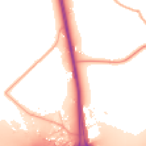
Daytime· 07:00 – 23:00
53.7dB

Night-time· 23:00 – 07:00
47.4dB