1 Club Cottages, Club Lane, Coven Heath, Wolverhampton, WV10 7EW
About 1 Club Cottages
1 Club Cottages is an end-of-terrace house in Coven Heath, Wolverhampton, Wolverhampton (WV10 7EW). It has a recorded floor area of 85 m² (around 915 sq ft), construction records dating it to before 1900 and council tax band D. The latest certificate (January 2015) shows a D (score 56), a step below the typical UK home. The rating has held steady at D across 2 certificates since December 2014. The recommended improvements would lift it to B (score 84), a 2-band jump. The latest certificate is from January 2015, so improvements made since then won't be reflected.
Untraded for 27 years, with the last transfer in September 1999. Only one transfer is on record with HM Land Registry, suggesting it has stayed in the same hands for a long time. Today's modelled estimate of £262,000 sits 285.3% above the 1999 sale of £68,000. On a £-per-square-foot basis, the last sale (£74/sq ft) was about 46.2% below the postcode norm.
Everything you need to know about 1 Club Cottages
The true value, the hidden risks and the full sale history, in one report.
Pick your report · every report is £14.99
One time fee only - money back guarantee

The data behind every report


Energy performance
Recommended upgrades on file would lift this property by multiple EPC bands.
EPC Expired
This certificate is over 10 years old and is no longer valid.Expired 22 Jan 2025
EPC Rating
Get a survey for this property
Level 3 Building Survey
Because the property was built before 1919 and has solid (non-cavity) walls, we believe a Level 3 building survey should be considered.
From £885 · Includes VAT
Planning history
1 Club Cottages has no planning applications on record.
But the area is active
4 notable applications nearby — larger schemes and conversions that could reshape the street. The report maps them all.
Sales history & valuation
1 Club Cottages's estimated value is more than triple its earliest registered sale price (1999).
£262,000
Modelled from EPC, postcode comparables.
£68,000
Recorded with HM Land Registry.
Sales timeline
16 September 1999Most recent
£68,000
Median price across the last 5 sales in WV10 7EW: £150,000 (2023–2001).
Nearby sales in WV10 7EW
Little Wood View, Club Lane, Coven Heath, Wolverhampton, WV10 7EW
Sold Nov 2023
£720,0002 Club Cottages, Club Lane, Coven Heath, Wolverhampton, WV10 7EW
Sold Oct 2022
£2,5003 Club Cottages, Club Lane, Coven Heath, Wolverhampton, WV10 7EW
Sold Mar 2016
£150,0007 Club Cottages, Club Lane, Coven Heath, Wolverhampton, WV10 7EW
Sold Aug 2001
£160,0006 Club Cottages, Club Lane, Coven Heath, Wolverhampton, WV10 7EW
Sold Apr 1995
£67,000
Everything you need to know about 1 Club Cottages
The true value, the hidden risks and the full sale history, in one report.
Pick your report · every report is £14.99
One time fee only - money back guarantee
The data behind every report
Similar properties nearby
1 Brook House Lane, Featherstone
WV10 7AW
1 Baneberry Drive, Featherstone
WV10 7TR
1 Bellflower Close, Featherstone
WV10 7SU
1 Brewood Road, Cross Green
WV10 7PW
1 Brooklime Gardens, Featherstone
WV10 7TW
1 Bridge Cottages, Straight Mile, Calf Heath
WV10 7DP
1 East Road, Brinsford
WV10 7NP
1 Cranesbill Close, Featherstone
WV10 7TY
The neighbourhood at a glance
Crime
6/mo
Steady year-on-year across the wider district.
Nearest stop
0.3 km
Ball Lane — bus stop.
Closest school
1.5 km
St Anthony's Catholic Primary Academy. 11 schools nearby.
Go deeper on the local area
A Local Area report breaks down crime, transport links, schools and air quality in depth.
Road noise across the postcode
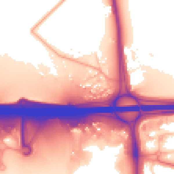
Daytime· 07:00 – 23:00
59.6dB
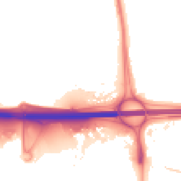
Night-time· 23:00 – 07:00
53.2dB