31a, Kings Road, Calf Heath, Wolverhampton, WV10 7DU
About 31a
31a is a detached house in Calf Heath, Wolverhampton, Wolverhampton (WV10 7DU). It has a recorded floor area of 158 m² (around 1696 sq ft) and council tax band F. The latest certificate (October 2010) shows a D (score 62), on the cusp of jumping into the C band. Main heating runs on lpg. The latest certificate is from October 2010, so improvements made since then won't be reflected.
4 planning records sit against the property, 4 approved, 0 refused. Past consents include an annexe and an extension, meaningful when judging how the property has evolved. Last sold in June 2011, so it's been off the market for around 15 years. Today's modelled estimate of £552,000 is 37% above the 2011 sale price.
Everything you need to know about 31a
The true value, the hidden risks and the full sale history, in one report.
Pick your report · every report is £14.99
One time fee only - money back guarantee

The data behind every report


Energy performance
31a's EPC is over a decade old — improvements since won't be reflected.
EPC Expired
This certificate is over 10 years old and is no longer valid.Expired 25 Oct 2020
EPC Rating
Get a survey for this property
Level 2 HomeBuyer Report
We've checked 10 risk factors against the available data for this property and believe a Level 2 HomeBuyer Report could be a suitable option for you.
From £795 · Includes VAT
Planning history
31a has been through 4 approved planning applications — a well-evolved property.
4 applications on record at 31a, Kings Road, Calf Heath, Wolverhampton, WV10 7DU
- Nov 2020ExtensionFullOutcome in report
Extension: Part single, part two storey
Proposed single storey extension to the front and rear. Two storey extension to the side to form a new kitchen space and additional bedroom.
- Documents
- 7 docs on file
- Reference
- 20/00887/FUL
- More recent applications — locked
- AnnexNov 2024Decision
- ExtensionJun 2021Decision
+ 1 more application in the report
Unlock 31a, Kings Road, Calf Heath, Wolverhampton, WV10 7DU's full planning history
You're seeing the shape of it. The report has the substance.
- Every decision — granted, refused or withdrawn (4 on record)
- All 4 applications on this property in full, plus 4 notable nearby
- The 28 documents, officer reports & conditions
- What the pattern means for extending or converting here
One time fee only - money back guarantee
Sales history & valuation
31a valuation sits well clear of the typical sold price in this postcode.
£552,000
Modelled from EPC, postcode comparables.
£403,000
Recorded with HM Land Registry.
Sales timeline
21 June 2011Most recent
£403,000
Median price across the last 5 sales in WV10 7DU: £480,000 (2025–2022).
Nearby sales in WV10 7DU
29 Kings Road, Calf Heath, Wolverhampton, WV10 7DU
Sold Sept 2025
£655,00041 Kings Road, Calf Heath, Wolverhampton, WV10 7DU
Sold Mar 2025
£515,0006 Kings Road, Calf Heath, Wolverhampton, WV10 7DU
Sold Jan 2023
£480,00039 Kings Road, Calf Heath, Wolverhampton, WV10 7DU
Sold Sept 2022
£450,0001 Marina View, Kings Road, Calf Heath, Wolverhampton, WV10 7DU
Sold Jun 2022
£425,000
Versus other Kings Road homes
Price per m²
£2,558
Street avg £2,222
Floor Area
158 m²
Street avg 169 m²
CO₂ Emissions
3.4 t/year
Street avg 6.2 t/year
Years Held
15 years
Street avg 12 years
Everything you need to know about 31a
The true value, the hidden risks and the full sale history, in one report.
Pick your report · every report is £14.99
One time fee only - money back guarantee
The data behind every report
Similar properties nearby
1 Albert Barns, Brinsford Lane
WV10 7PR
1 Dairy Farm Barns, Little Saredon
WV10 7LJ
1 Featherstone Hall Barn, New Road, Featherstone
WV10 7NW
1 Ball Lane, Coven Heath
WV10 7EY
1 College Way, Brinsford
WV10 7FJ
1 Cranesbill Close, Featherstone
WV10 7TY
1 Bridge Cottages, Straight Mile, Calf Heath
WV10 7DP
1 Brooklime Gardens, Featherstone
WV10 7TW
The neighbourhood at a glance
Crime
6/mo
Steady year-on-year across the wider district.
Nearest stop
2.2 km
Station Drive — bus stop.
Closest school
2.3 km
Havergal CofE (C) Primary School. 2 schools nearby.
Go deeper on the local area
A Local Area report breaks down crime, transport links, schools and air quality in depth.
Road noise across the postcode
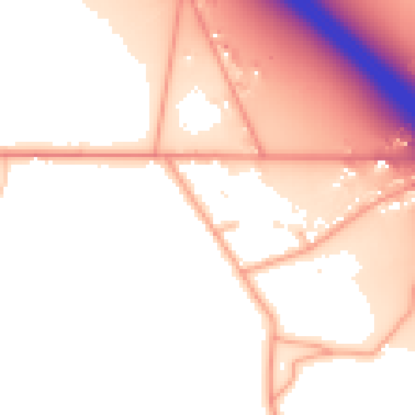
Daytime· 07:00 – 23:00
54.9dB

Night-time· 23:00 – 07:00
48.8dB