15 Church Street, Heath Town, Wolverhampton, WV10 0LU
About 15 Church Street
15 Church Street is a property in Heath Town, Wolverhampton, Wolverhampton (WV10 0LU). It has council tax band B.
Energy performance
No EPC on record
This property doesn't have an Energy Performance Certificate yet. An EPC is required to sell or let — and unlocks our automated valuation.
Get a survey for this property
Level 2 HomeBuyer Report
We've checked 10 risk factors against the available data for this property and believe a Level 2 HomeBuyer Report could be a suitable option for you.
Planning history
No planning applications are recorded against 15 Church Street, Heath Town, Wolverhampton, WV10 0LU. The full report also covers planning activity across the surrounding area.
Sales history & valuation
No sales recorded with HM Land Registry
That can mean the property has never traded since the registry began publishing in 1995, was a new build that hasn't been registered yet, or is held in the same hands long-term.
Median price across the last 5 sales in WV10 0LU: £140,000 (2019–2017).
Nearby sales in WV10 0LU
Royston, Church Street, Heath Town, Wolverhampton, WV10 0LU
Sold Nov 2019
£137,00012 Church Street, Heath Town, Wolverhampton, WV10 0LU
Sold Nov 2019
£166,00021 Church Street, Heath Town, Wolverhampton, WV10 0LU
Sold Nov 2018
£81,000Corner House, Church Street, Heath Town, Wolverhampton, WV10 0LU
Sold Aug 2018
£253,5008 Church Street, Heath Town, Wolverhampton, WV10 0LU
Sold May 2017
£140,000
Similar properties nearby
The neighbourhood at a glance
Crime
6/mo
Steady year-on-year across the wider district.
Nearest stop
1.4 km
Wolverhampton Rail Station — railway station.
Closest school
0.3 km
Trinity CofE Primary Academy. 38 schools nearby.
Road noise across the postcode
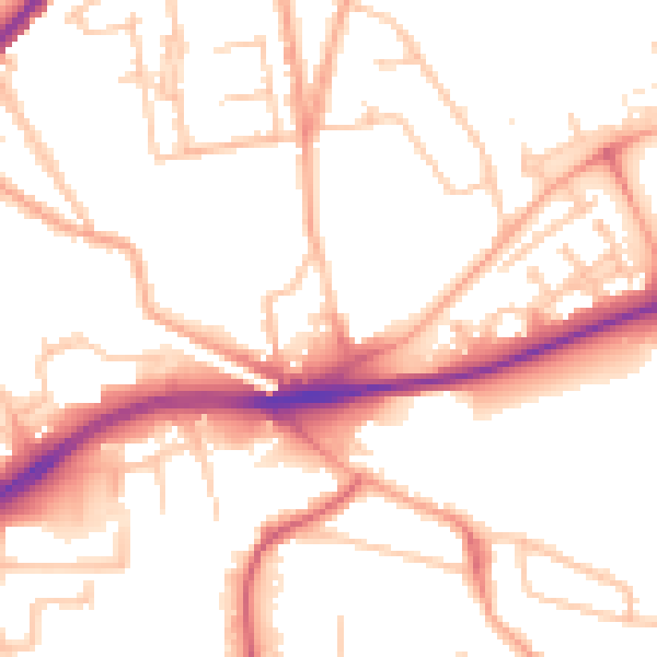
Daytime· 07:00 – 23:00
52.0dB

Night-time· 23:00 – 07:00
42.0dB